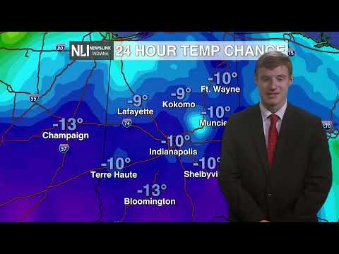

Tonight: In one word? Cold. Tonight we have a low of just 21 degrees. However when you take into acount wind chill it will feel like the teens out there. Winds will be constant from the west at 10 mph. There however might be an isolated gust of 25 possible too.

Tomorrow: abundant sunshine is expected all day tomorrow. This is due to high pressure building behind the strong cold front we saw last night into this morning. Temperatures will warm up into the lower 40s for a high. High of 42 is expected around 5 o'clock with the winds switching directions, now coming from the south west.

7-Day: For the extended forecast we have a chance of showers on Friday morning into the early afternoon. Then a picture perfect weekend with temperatures returning into the high 50 and then high 60s even for Sunday! The following week looks to be warmer in the 60s and 50s but with rain chances through mid week.

- Weather Forecaster Jack Van Meter
Follow us on Twitter @NLIWeather for breaking weather updates.
NewsLink Indiana is a proud Ambassador for the NOAA Weather-Ready Nation program.
For more information about the Weather-Ready Nation program please click HERE
