
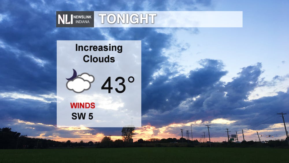
Tonight: Overnight tonight we will be seeing clear skies to begin the night, but that won't last long as clouds will build through the evening into the morning. Overnight lows reach into the lower 40s, with light winds coming out of the SW at around 5 mph.
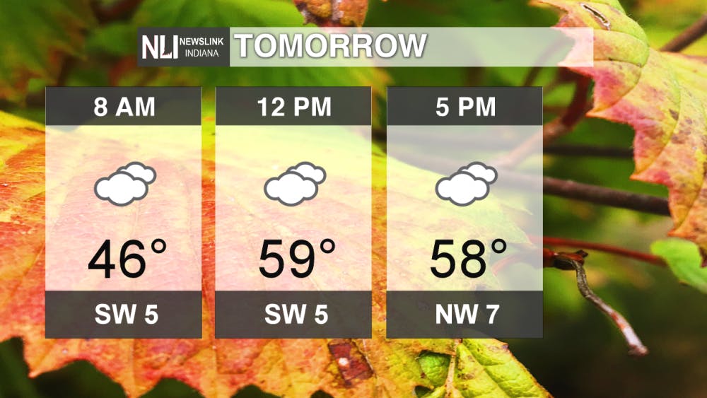
Tomorrow: Tomorrow, cloudy conditions continue through the entire day, with temperatures beginning in the mid-40s and quickly increasing into the upper 50s by afternoon. Winds will shift during the afternoon, from SW flow to NW flow. During that time in the mid afternoon, don't rule out the possibility of a stray shower as well.
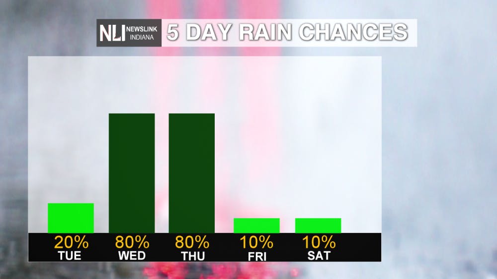
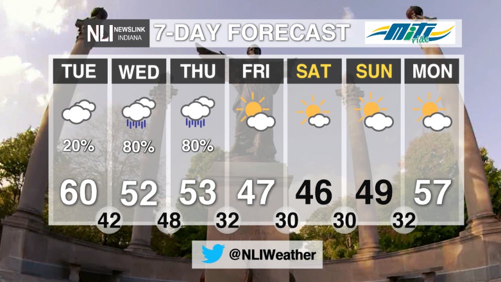
7-Day Forecast: Over the latter half of this week, we see increased rain chances, all the way up to 80% on both Wednesday and Thursday. After that, the rain chances decrease once again into the weekend.
Over the next 7 days, we will see those increased chances for rain showers in the later part of this week. On Halloween, I'm anticipating cool and wet conditions during the typical trick-or-treating time, so be sure to bundle up underneath your costume! Overnight Thursday, I can't rule out a chance for snow flurries as well, if it cools down quick enough. Over the weekend, we dry back out, with high temperatures dropping into the upper 40s for through the weekend, before jumping back up on Monday.
--NewsLink Indiana Weather Forecaster Jordan Wolfe
Follow us on Twitter @NLIWeather for breaking weather updates.
NewsLink Indiana is a proud Ambassador for the NOAA Weather-Ready Nation program.
For more information about the Weather-Ready Nation program please click HERE
Read More

Muncie EMS Chief Wesley Miller charged with two felony counts
By Staff Reports / 5 hours agoMiller has been placed on administrative leave “effective immediately”, according to an official May 28 statement from the City of Muncie.

Ball State Honors College Junior Earns National Scholarship for Sustainability Leadership
By Ball State Daily / 8 hours agoBall State junior Shaina Miller has received a prestigious Udall Undergraduate Scholarship for her commitment to environmental advocacy. One of just 55 recipients nationwide, she will also attend a national orientation to connect with leaders in sustainability and tribal policy.

ICC: Feds approve Indiana ban on soda, candy from SNAP purchases
By Indiana Capital Chronicle / 2 days agoHoosiers will no longer be allowed to purchase candy and soda using taxpayer-funded food assistance, making Indiana the first state to receive a federal waiver for the restriction.
