

Tonight: The heat and humidity from earlier today has made way for a few storms this evening. This trend will continue until about midnight, when we'll get a break from the rain. Temperatures won't fall much (only into the low-70's), and conditions will continue to feel muggy.

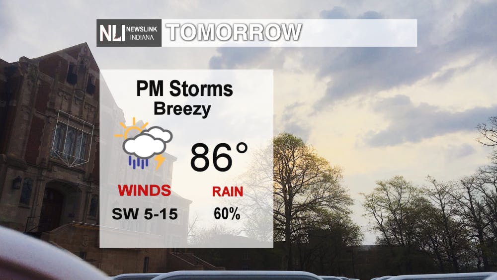
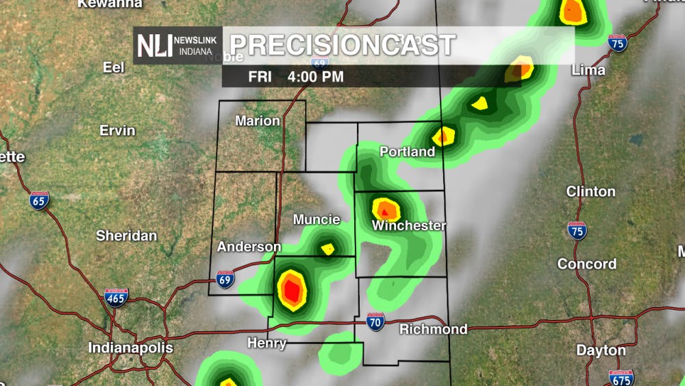
Tomorrow: The heat and humidity continues tomorrow but there's relief on the way! The morning will start out partly cloudy before a cold front approaches in the afternoon. As a results, clouds will begin to build in, and showers and thunderstorms will be possible in the mid-to-late afternoon. A few of those storms may contain heavy rainfall or gusty winds.
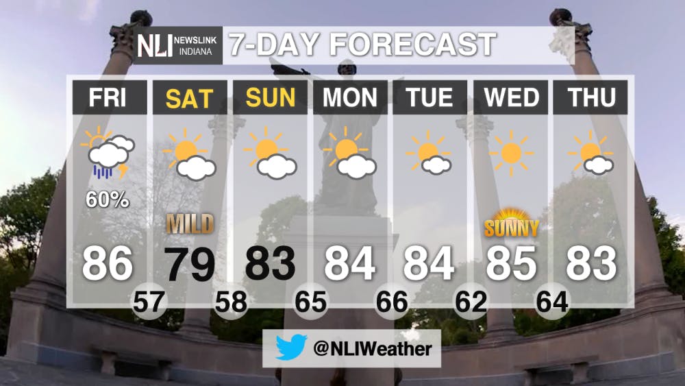
7-Day Forecast: Relief from the heat arrives this weekend! We will likely stay below the 80° mark on Saturday, and it will feel refreshing outside. This will be perfect weather for Ball State's family weekend and the game on Saturday afternoon! The break from the heat won't last long, however, as temperatures rise back into the mid-80's for most of next week. The silver lining is that skies will remain partly cloudy to mostly sunny through most of the week!
--Assistant Chief Weather Forecaster Gabe Prough
Follow us on Twitter @NLIWeather for breaking weather updates.
NewsLink Indiana is a proud Ambassador for the NOAA Weather-Ready Nation program.
For more information about the Weather-Ready Nation program please click HERE
Read More

9-1-1 What's Your Hot Take E12: Season 6 Recap
By Willow Emig and Sam Jasionowski / 11 hours agoIn this episode of 9-1-1 What’s Your Hot Take, Sam and Willow discuss the events of season 5 of 9-1-1.

Prairie Creek Reservoir beach cleared for reopening
By Staff Reports / 12 hours agoThe City of Muncie announced the reopening of Prairie Creek Reservoir's beach via a press release July 3, successfully passing its water quality tests.

Record Parlor of Muncie aims to create good music and good vibes
By Kylee White / 14 hours agoRecord Parlor of Muncie hopes to provide good music while highlighting local artists.
