


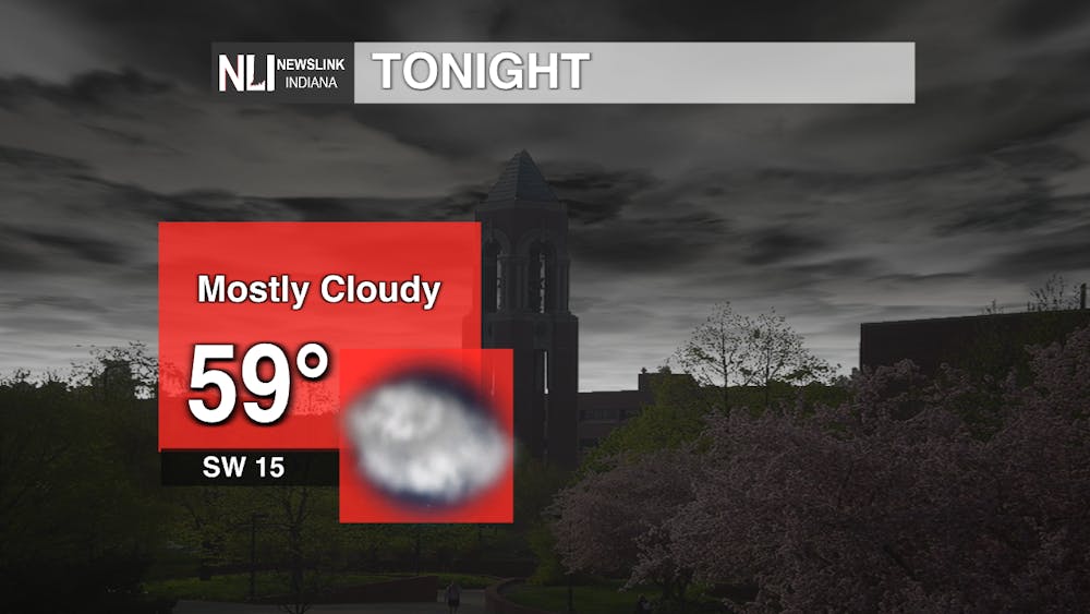
Tonight: You can expect a cool and pleasant evening as temperatures will slowly decrease through the night, reaching 59 degrees. Skies will remain cloudy, followed by precipitation early Thursday morning. A breeze of 15 mph will add a chill, so it would be best to bring a light jacket.
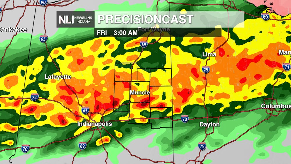
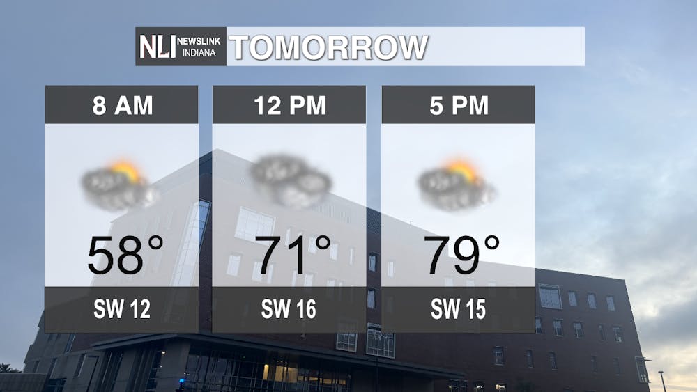
Tomorrow: In the early morning, the temperature will be in the high-50s, eventually reaching 71 degrees at noon, and 79 degrees at 5 p.m. Starting around 1 a.m. Thursday morning, we will receive heavy rainfall until 7 a.m.. It will remain cloudy and muggy for the day, with a possible severe thunderstorm moving in around 7 p.m. This storm will bring damaging winds, heavy rainfall, lighting, and possible lime-sized hail. Muncie's risk remains high from 8 to 11 p.m. with heavy precipitation bringing us into Friday.
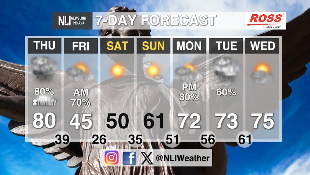
Seven-day Forecast: After Thursday's storms have passed, temperatures will remain in the mid-40s to the low-60s the rest of the weekend. Temperatures will rise beginning on Monday, with highs in the low-to-mid-70s and clear skies. Monday through Wednesday will be cloudy, with a possibility of moderate rainfall on Monday and Tuesday.
- Weather Forecaster Dillinger Clark
Follow us on Facebook, Instagram, and X @NLIWeather for breaking weather updates.
NewsLink Indiana is a proud Ambassador for the NOAA Weather-Ready Nation program.
For more information about the Weather-Ready Nation program please click HERE
