
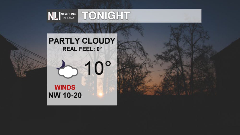
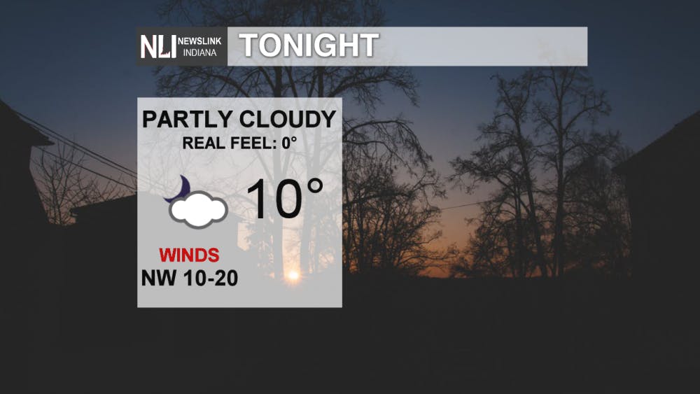
Tonight: It will be very cold tonight with a low of 10°, with winds out of the NW at 10-20 mph. Wind chill values will be near or below 0° so be sure to bundle up if you are heading outside tonight. Be sure to bundle up with multiple layers if you are heading outdoors tonight. Frostbite and hypothermia can occur in as little as 30 minutes.
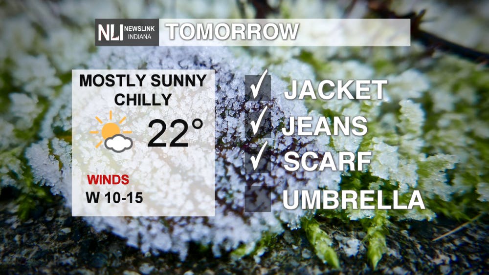
Tomorrow: For Groundhog Day, it will be cold with a high of only 22°. Winds will be out of the WNW between 10 and 15 mph. Be sure to stay bundled up with a jacket, pants, and a scarf as wind chill values will be in the teens.
7 Day: After tomorrow, temperatures will be slightly warmer. Saturday and Sunday both have highs in the upper 30s, but with a system moving through East Central Indiana late Saturday night into early Sunday morning. There is not much in terms of snow accumulation with this, anywhere between 1-2'' is possible. The same story on Monday evening as well, but temperatures will be slightly cooler. As next week moves on, temperatures will be in the lower 30s with mostly sunny skies.

--Weather Forecaster Ethan Rosuck
Read More

IPR: Advocacy groups, college student sue Indiana over new law banning student IDs at polling places
By Indiana Public Radio / YesterdayTwo voter and civic advocacy groups and an Indiana University student are suing the state over a new law that bans the use of student IDs for voting. The suit alleges the SEA 10, signed into law last month, “severely burdens” young people’s ability to vote without any justification.

Public invited to update on The Village revitalization plan
By Ball State Daily / 2 days agoPresident Mearns will host a public update on Ball State's revitalization plan for The Village at 6 p.m. on Wednesday, June 4, at Cornerstone Center for the Arts in the Legacy Room on the third floor. Parking is available in Cornerstone’s lots off Washington Street. The event will offer the latest on Ball State’s plan to revitalize The Village.

IPR: Arts funding stripped from numerous Indiana organizations
2 days agoFederal funding that supports artists across Indiana has been terminated by the Trump Administration. The National Endowment for the Arts has pulled funding from art organizations across the country, including in Indiana. The NEA awarded $265,000 to 13 art organizations in the state for the 2025 fiscal year.
