
Tonight:
Temperatures will drop down to 24 degrees overnight. We saw snow flurries throughout the day today, and we might see those flurries stick around overnight. Conditions will also start to clear, setting us up for a clear Friday.

Friday:
Friday will be chilly in the morning, so make sure to bundle up the kiddos as they head out the bus stop!


Friday Night:
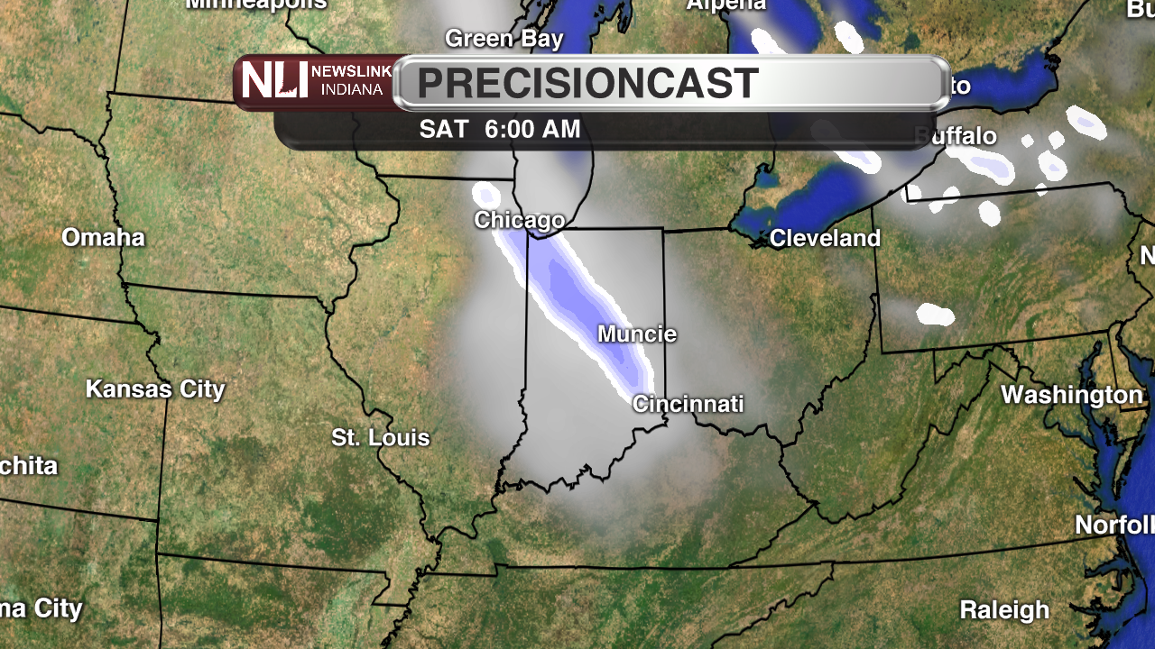
Friday night will bring the possibility of snow into Saturday morning. This will bring in cloudier conditions as well.
7-Day Forecast:
Temperatures will begin to increase starting Sunday, calling for a warmer work week this upcoming week.

With all the extreme weather events throughout the past week, starting with strong storms and 70’s last Friday, to Tuesday’s severe weather outbreak, the weather has finally calmed down a bit. Colder temperatures have been the norm for the past few days, and it will continue to be for a few more days. Overnight hours will see clearing skies with an overnight low of 25 degrees heading into Friday. Friday will see clear skies and a high of 35 degrees, but with winds reaching up to 15 miles per hour, the wind chill will make it feel like only 25 degrees, so make sure to dress accordingly! Saturday holds a 70% chance for snow in the morning, and by Sunday we’ll be back up to 60 degrees
NewsLink Indiana is a proud Ambassador for the NOAA Weather-Ready Nation program. For more information about the Weather-Ready Nation program please click HERE |
Read More

Tornado Watch Issued for Delaware County, Extreme Heat on the Way
By Staff Reports / June 18, 2025The National Weather Service (NWS) has issued a Tornado Watch for a large portion of Indiana from 1-8 p.m. on Wednesday, June 18. This alert includes Delaware, Henry and Randolph Counties in East Central Indiana, as well as dozens of other counties across the state.

Ball State’s Jewish Studies Program and its collaborative workshops and classes highlight the WWII atrocities that ignited creativity
By Katherine Hill / May 3, 2025The program continues to expand and educate as a result of the efforts from director Galit Gertsenzon.

Ball State's to reevaluate its May 3 Commencement location, weather pending
By Staff Reports / May 2, 2025Ball State University confirmed via Instagram May 2 a possible reevaluation of May 3 Commencement plans, weather pending.
