

As high pressure builds into our area on Friday, this will give us sunny skies for most of the day and even a bit on Saturday as well before the clouds roll back in on Saturday around the noon hour. Saturday night that high pressure is going to move completely out of the area, allowing for clouds to lurk back in to the Great Lakes region during the overnight on Saturday and throughout Sunday ahead of a low pressure system. As the low moves into our region it will bring the chance for about 1 inch of snow on Monday and will stall for another day or so, allowing for more snow on Tuesday with accumulation on Tuesday from 1-3 inches. By Wednesday the low will have moved out of the area, but we will still see mostly cloudy skies and cold conditions, but will have a decent day on Thursday with partly sunny conditions. Make sure you're prepared for the snow on Monday. Pro-tip: If you park your car outside, put your windshield wipers up on Sunday and Monday night to prevent them from freezing to your windshield. Make sure to follow us on twitter @NLIWeather for weather updates!
Read More

Students gather to protest for Palestine at Frog Baby Fountain
By Staff Reports / YesterdayA student-led protest kicked off near Frog Baby at 4 p.m. May 1 in solidarity with Palestine amidst the country’s conflict with Israel.
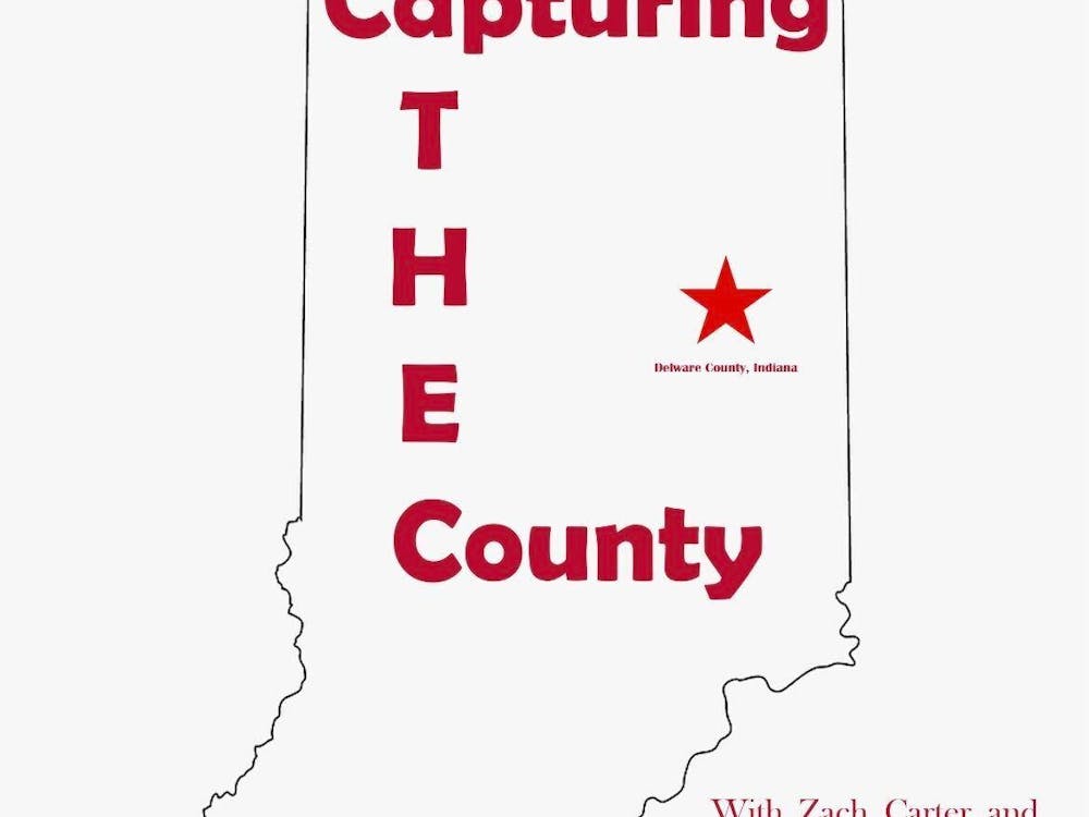
Capturing The County - Episode 19
By Zach Carter and Adam Altobella / 6 days agoIn this episode, Zach and Adam discuss the future of the Ball State Daily News and recap the Delaware County sports action from the school year.
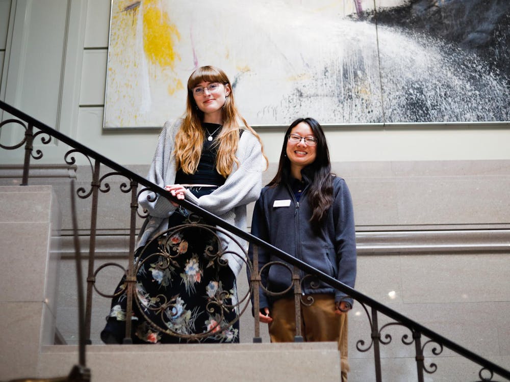
The eyes and ears of the David Owsley Museum of Art
By Madelyn Bracken / 6 days agoThe David Owsley Museum of Art (DOMA) doesn’t only house art. For many Ball State University students, it houses opportunity. Graduate and social media assistant, and former DOMA intern and guard, Taylor Hamblin spent the past two years working at the museum surrounded with possibilities to further her career while at Ball State.
