


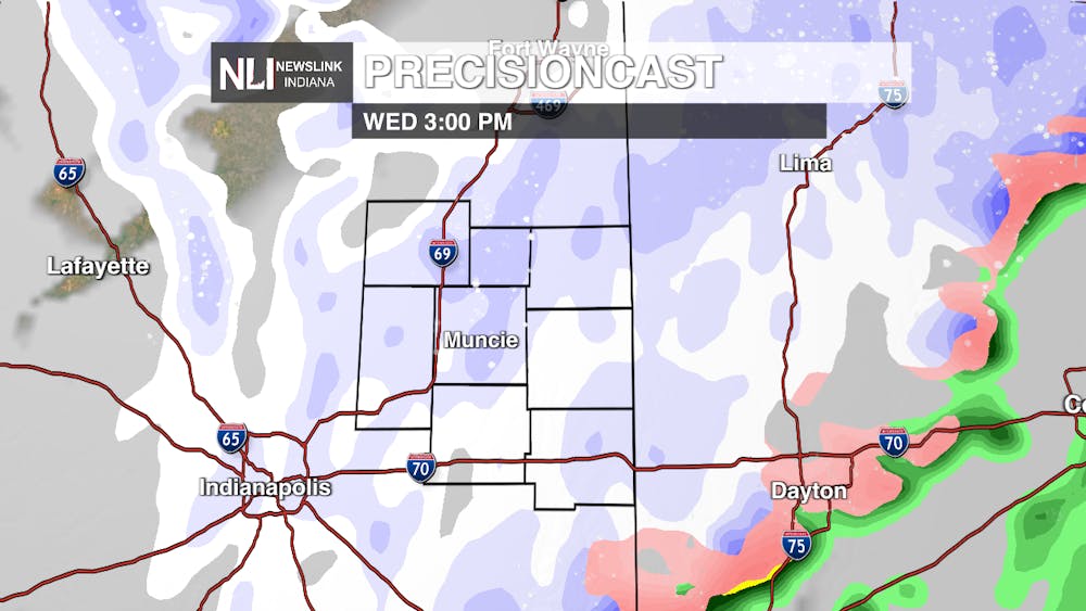
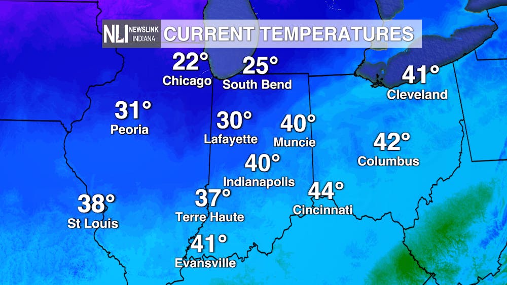
Today: Our high temperature for today has already been reached! We will continue to decrease in temperature as the day goes on and eventually dip into the high-20s by the evening commute. Winds will pick up once again as a cold front begins to pass over our area by 2 p.m., with gusts up to 35-40 mph possible. Lake effect snow will enter the region as well and last throughout the day with accumulations up to an inch possible.
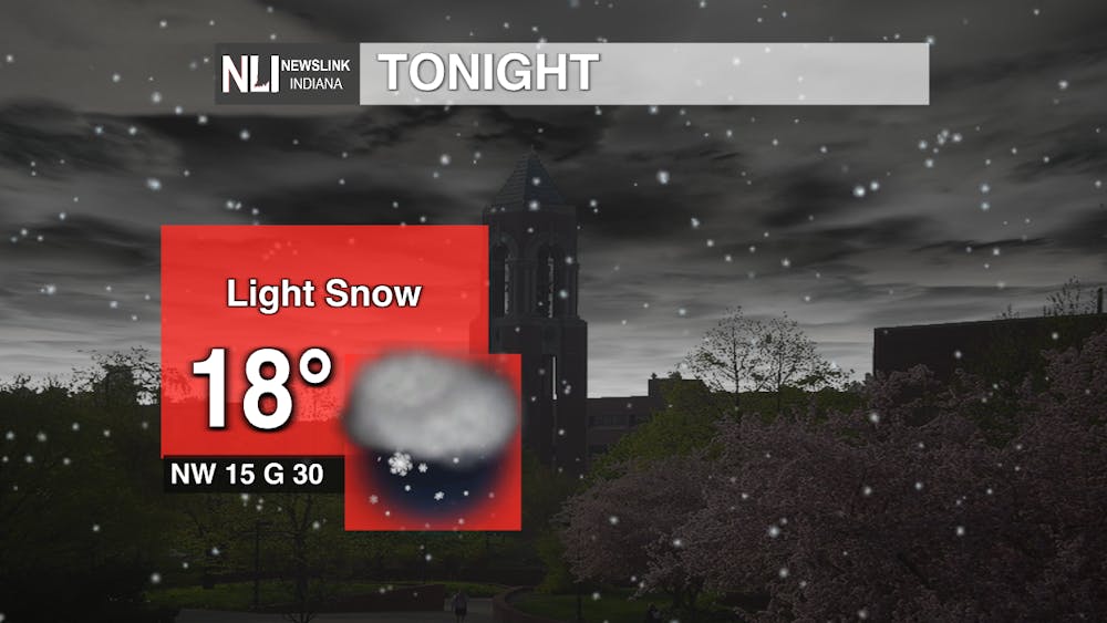
Tonight: The snow dies down in the early evening hours but the possibility of a light snow shower or flurries cannot be ruled out. Cloud cover persists throughout the night with winds coming from the northwest at 15 mph and gusting up to 30. Lows will dip into the teens, making for a chilly winter night.
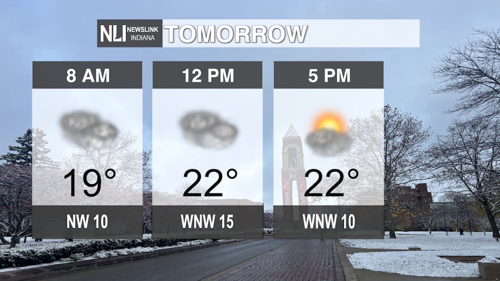
Tomorrow: The snow will move out but clouds persist throughout the morning. Sunshine will break through by the afternoon with a proper mix of sun and clouds. High temperatures will not break 30 degrees, sticking in the mid-20s throughout the day. Winds will thankfully start to calm down with gusts of 25 mph possible throughout the day.
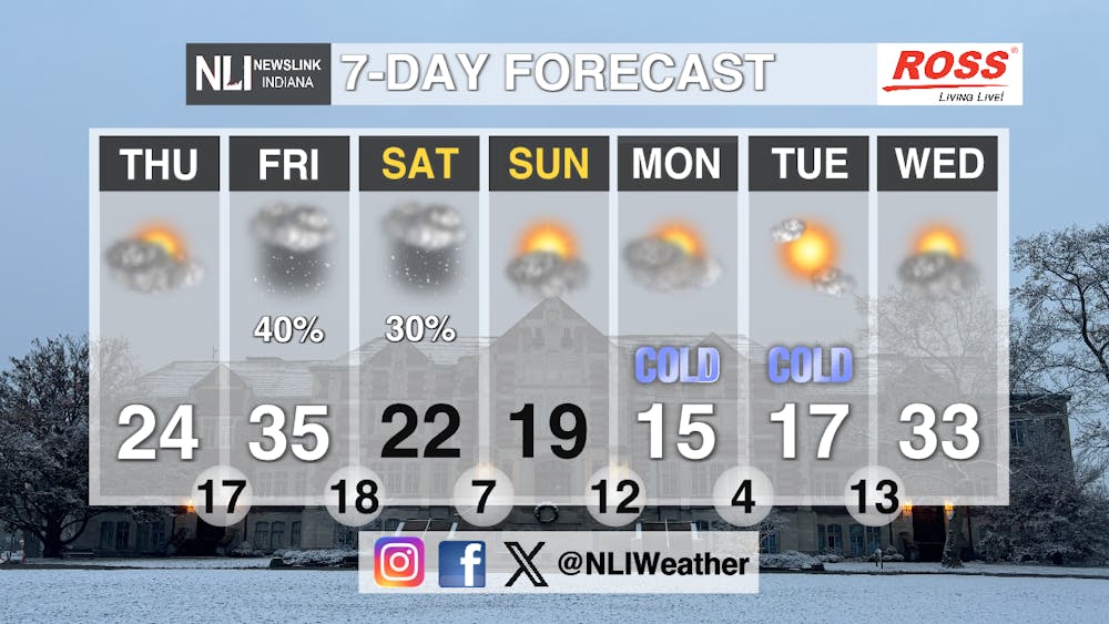
Seven-Day Forecast: Snow chances return Friday but the chances of accumulation are minimal. Temperatures slide down well below the average of 36 degrees throughout the week. Overnight lows will be dangerously cold with some nights settling into the single digits. A mix of sunshine and clouds will be prominent throughout the end of the weekend and first half of next week. Make sure to bundle up as you head outside because these winter conditions are not going anywhere as temperature outlooks show us remaining below average.
-Chief Weather Forecaster Joseph Sawicki
Follow us on Twitter @NLIWeather for breaking weather updates.
NewsLink Indiana is a proud Ambassador for the NOAA Weather-Ready Nation program.
For more information about the Weather-Ready Nation program please click HERE


