


Today: We have a cool day and are starting to approach freezing temperatures in the night.

Tonight: Make sure to carry a jacket with a very cold night tonight. Additionally, there is a chance of snow occurring as we transition into tomorrow.

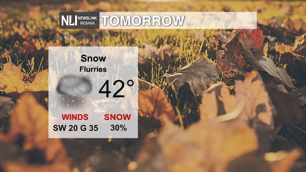
Tomorrow: There is a slight chance of snow as the day starts. Likewise, we will have very similar cool temperatures as the day goes on.
7-Day Forecast - The week will start off quite cool with temperatures in the mid to low 40s. There is even a chance of snow to watch out for this Tuesday. After that, it begins to warm up once again, almost approaching 60 on Thursday. Expect a lot of cloud cover this week into the weekend. Finally, we will reach the pleasant low 70s during the weekend.

--Weather Forecaster Ian Kowalski
Follow us on Twitter @NLIWeather for breaking weather updates.
NewsLink Indiana is a proud Ambassador for the NOAA Weather-Ready Nation program.
For more information about the Weather-Ready Nation program please click HERE


