


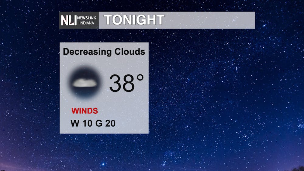
Tonight: Skies begin to clear out overnight allowing the temperatures to drop into the upper 30s into the early morning hours. Winds calm a little throughout the night but remain on the breezy side. Sustained west winds at 10 mph and gust up to 20 mph tonight.
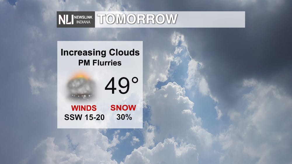
Tomorrow: A cold, sunny start to Friday before the cloud cover increases ahead of the next weather system. A high of 49 degrees tomorrow with windy conditions continuing to impact the area. South southwest wind sustained at 15-20 mph, gusting up to 30 mph. Later in the evening there is the possibility of a few nuisance snow flurries with a low near freezing.
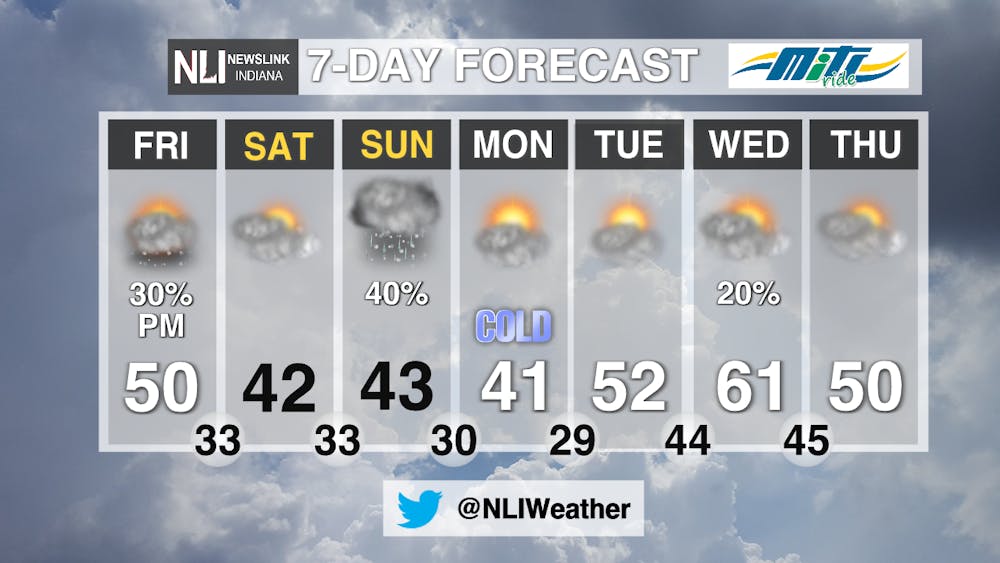
7-Day: More cold air moves in on Saturday dropping the highs into the 40s for the next three days. The other big story is the dropping wind chills reaching into the 20s for most of Saturday. Sunday the next weather system approaches bringing another possibility for a few snow flurries, before transitioning back into rain. Conditions dry back out come Monday and warm back into the 50s come Tuesday ahead of the next system.

-------Assistant Chief Weather Forecaster Natalie Fitzpatrick
Follow us on Twitter @NLIWeather for breaking weather updates.
NewsLink Indiana is a proud Ambassador for the NOAA Weather-Ready Nation program.
For more information about the Weather-Ready Nation program please click HERE


