


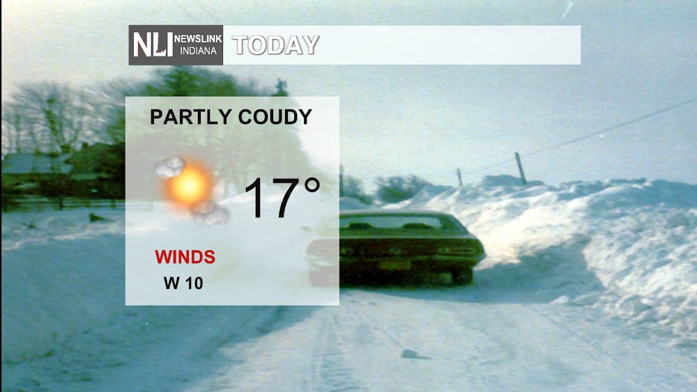
Today: Slightly warmer than yesterday. Winds will be calming down compared to what we have been experiencing here in the region recently. Expect cloudy conditions throughout the afternoon, then headed into the night expect winds to pick up with a low of -2 degrees.
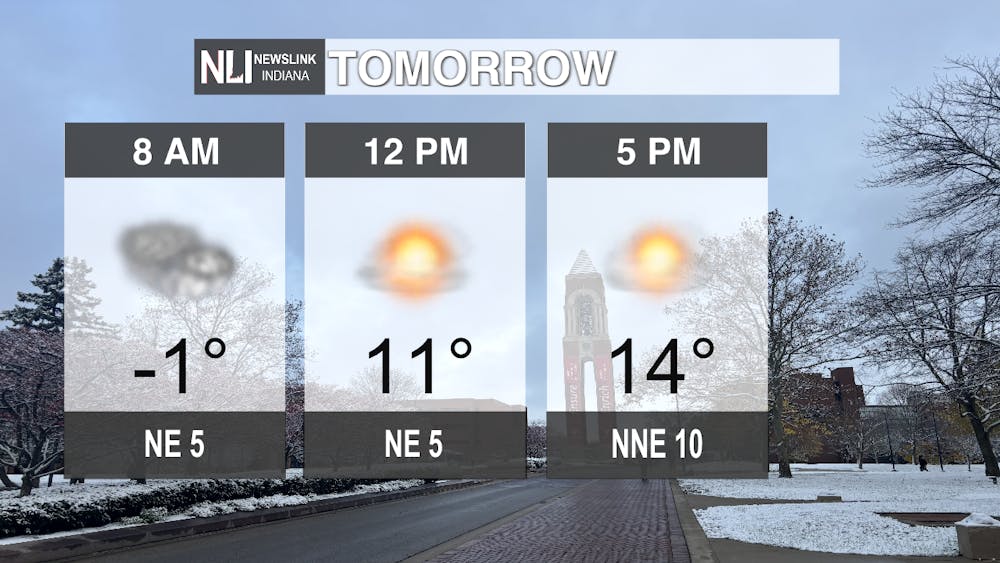
Tomorrow: At the bus stop, expect the overnight temperatures still lingering around, with the temperature being below zero. Bundle up before going out, as frostbite can occur in less than 30 minutes on exposed skin, especially with temperatures being sub zero. Headed into the afternoon, we will warm up slightly to 11 degrees. Then eventually by your evening commute, expect the temperature to be 14 degrees with winds starting to pick up coming from the north east at 10 mph. Make sure to cover exposed skin and reduce the amount of time spent outside if possible.
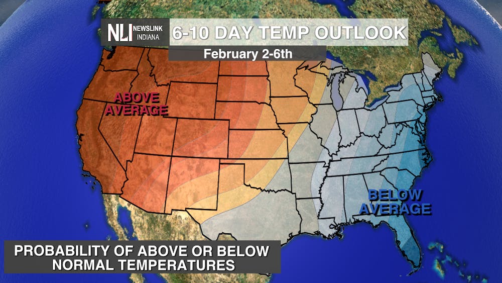
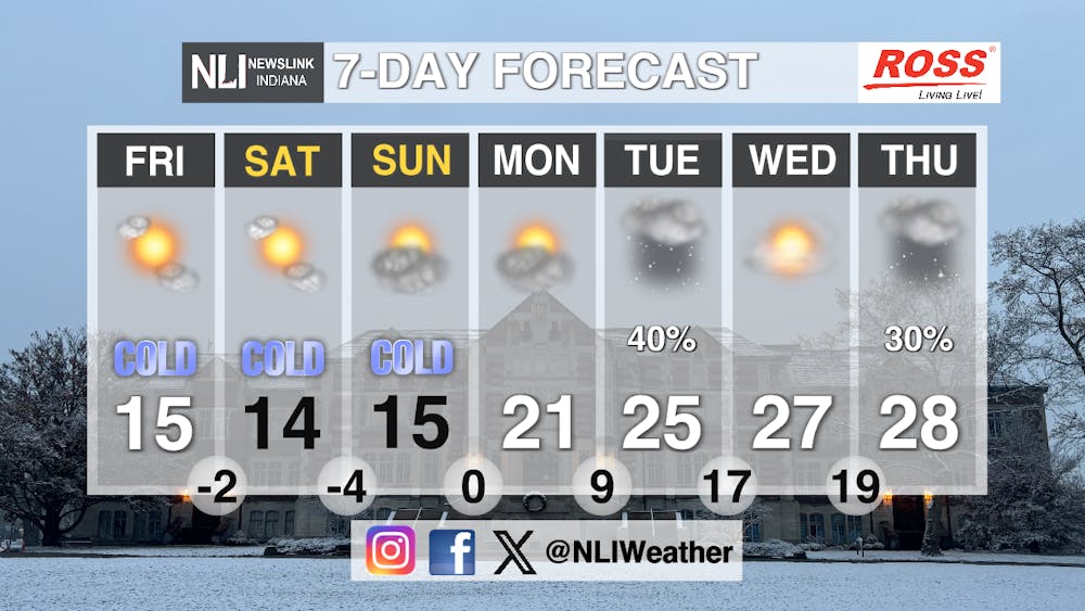
Seven-Day Forecast: Expect temperatures for the rest of the week to be bitterly cold. Highs will only reach the teens and lows will be below zero, dipping into the negatives. Expect the rest of the week to have cloudy skies with winds calming down. However, on Sunday, we start to see temperatures increasing again, but with that comes a chance of snow. If it were to precipitate, expect snow flurries, with it being nothing like what we experienced this past weekend. Monday, Tuesday, and Wednesday, we do see persistently increasing highs and lows. Next week, we have hopes for a better and slightly warmer week compared to what we have been experiencing here in Muncie!
- Weather Forecaster Kendra Heath
Follow us on Twitter @NLIWeather for breaking weather updates.
NewsLink Indiana is a proud Ambassador for the NOAA Weather-Ready Nation program.
For more information about the Weather-Ready Nation program please click HERE


