


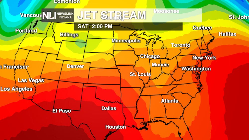
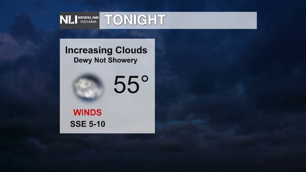
Tonight: You might be seeing clouds streaming in as you read this, and they look to thicken up overnight as a disturbance rolls along a warm front that already brought 80s in behind it through portions of southern & western Indiana (Terre Haute & Evansville for instance). That disturbance is trying to bring moisture with it in the form of what may try to be showers, but that rain may evaporate before reaching the ground due to the dry air in place around our area.
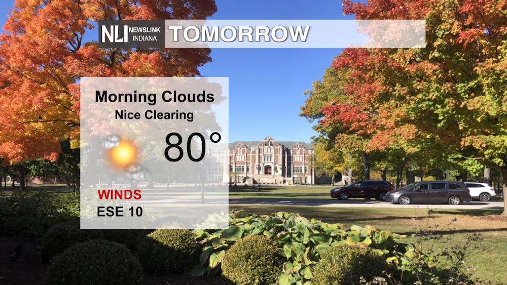
Tomorrow: The clouds from last night try to stick around, but will steadily clear through the rest of the day. Warmer temperatures begin to take hold as SE winds carry that warmer weather in helped out by that clearing. Nice weather for walks out on the town, hammocking and heading to the Cardinal Career Fair!
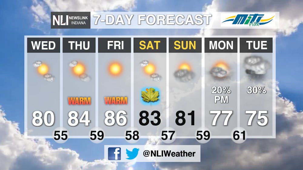
7-day Forecast: Bringing back the 80s, so wear your shades! We look to see increasingly sunny skies as we move through to the weekend where we find the first day of Fall where we normally have a high of 76. More normal highs win out as shower chances finally arise as we open the next week. These showers look to be mostly of the widely scattered variety.
-Weather Forecaster Ryan Hill
Follow us on Twitter, Facebook & Instagram @NLIWeather for breaking weather updates.
NewsLink Indiana is a proud Ambassador for the NOAA Weather-Ready Nation program. For more information about the Weather-Ready Nation program please click HERE


