


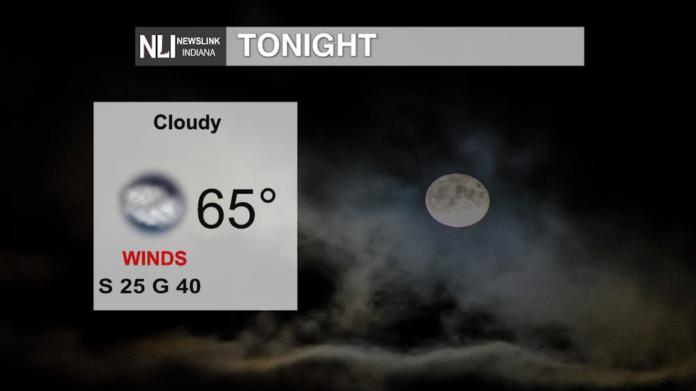
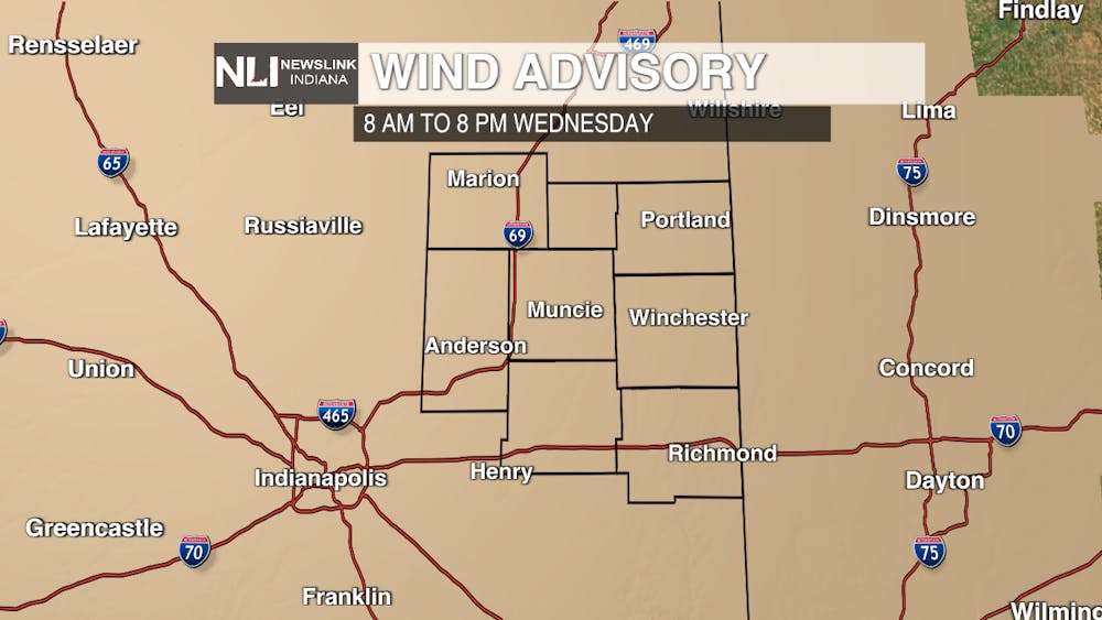
Tonight: Temperatures will remain mild overnight, all thanks to the cloudy conditions and southerly winds. Those winds, however, will increase to 25 MPH sustained, gusting up to 40 MPH at points. The National Weather Service has issued a Wind Advisory for tomorrow because of these gusty conditions.
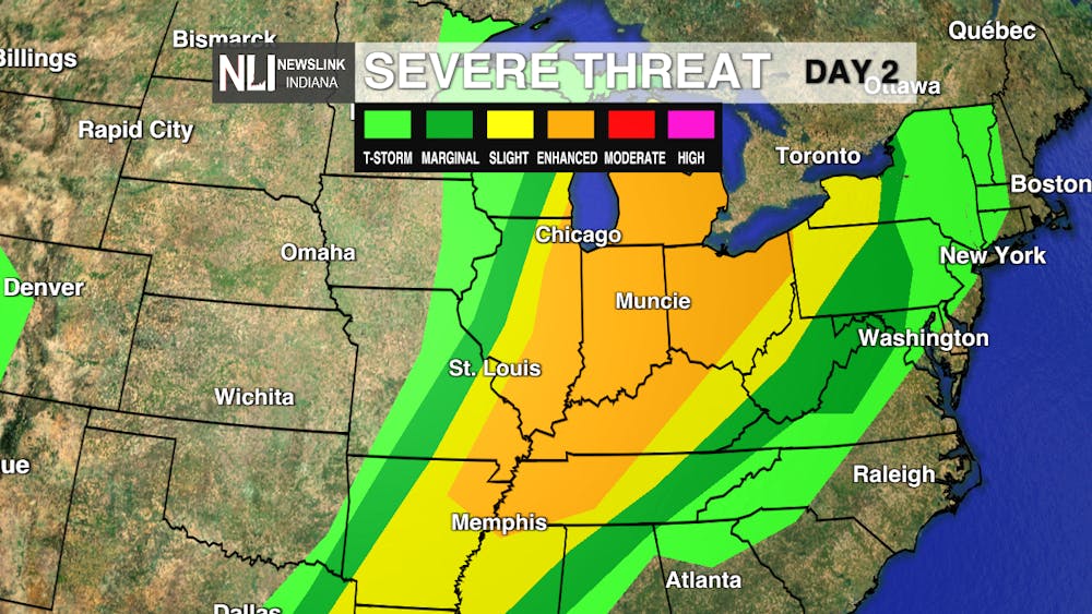
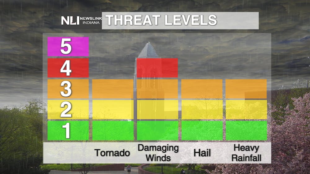
Tomorrow: The Storm Prediction Center has issued an Enhanced Risk for all of Indiana, as well as most of the Ohio Valley. Primary threats include damaging winds and hail, however isolated tornadoes and flooding can not be ruled out. Storms will roll through the area starting midday, lasting throughout the evening.
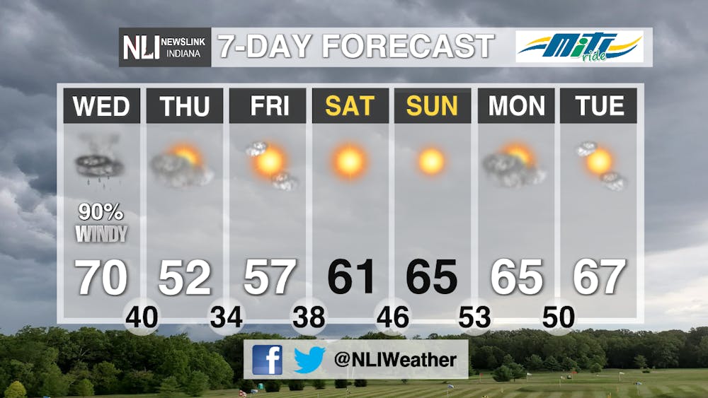
7-Day: After several rounds of severe weather have impacted our area recently, we finally will have a break starting Thursday. Temperatures will start to recover Thursday and Friday after the cold front moves through the area, recovering by this weekend. Sunny skies will return for a nice break from the rain.
--Weather Forecaster Rachel Sherfey
Follow us on Twitter @NLIWeather for breaking weather updates.
NewsLink Indiana is a proud Ambassador for the NOAA Weather-Ready Nation program. For more information about the Weather-Ready Nation program please click HERE


