


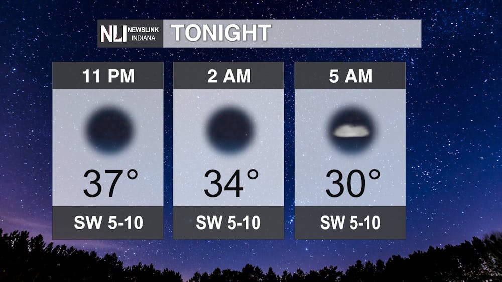
Tonight: Clear skies will be dominant throughout the night, before a few clouds moves in very late. A chilly will ensue with lows around 30 degrees.
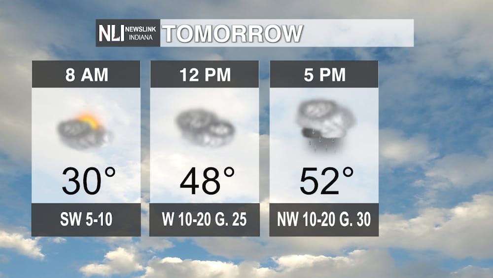
Tomorrow: Mostly cloudy skies look to move in mid-morning, becoming cloudy in the afternoon. Light rain will move through with a weak cold front, bringing some breezy conditions in the afternoon as well. Highs will be in the lower 50s. Winds could gust up to 30 mph at times. Be sure to put any loose outdoor objects inside for the afternoon. The breezy conditions will start to dissipate after sunset.
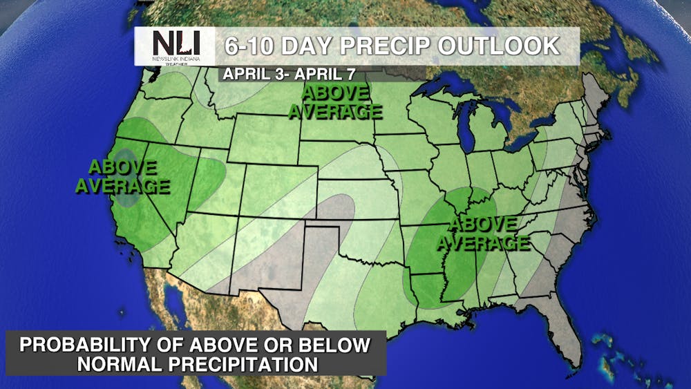
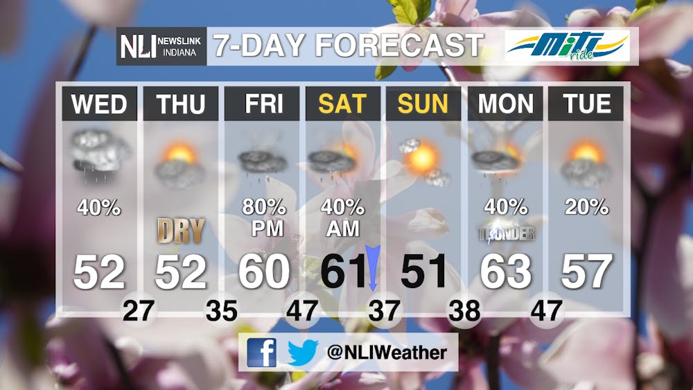
7-Day: After a quiet Thursday, a system moves into our area for Friday, bringing warmer temperatures, but als some rain and even some storm chances as well. Our storm chances look to maximize overnight Friday and into Saturday in association with a cold front. This will also cause temperatures to fall during the day on Saturday with more rain chances, mixing in with some snow later on in the day. A quiet and mostly sunny Sunday will follow this system's departure overnight Saturday, before our next storm system moves in to start the workweek next week.
--Weather Forecaster Lance Huffman
Follow us on Twitter @NLIWeather for breaking weather updates.
NewsLink Indiana is a proud Ambassador for the NOAA Weather-Ready Nation program. For more information about the Weather-Ready Nation program please click HERE


