


Tonight: Temperatures are expected to drop down to a low of 38 degrees under mostly cloudy skies. Winds will be coming out of the south at 5-10 mph.

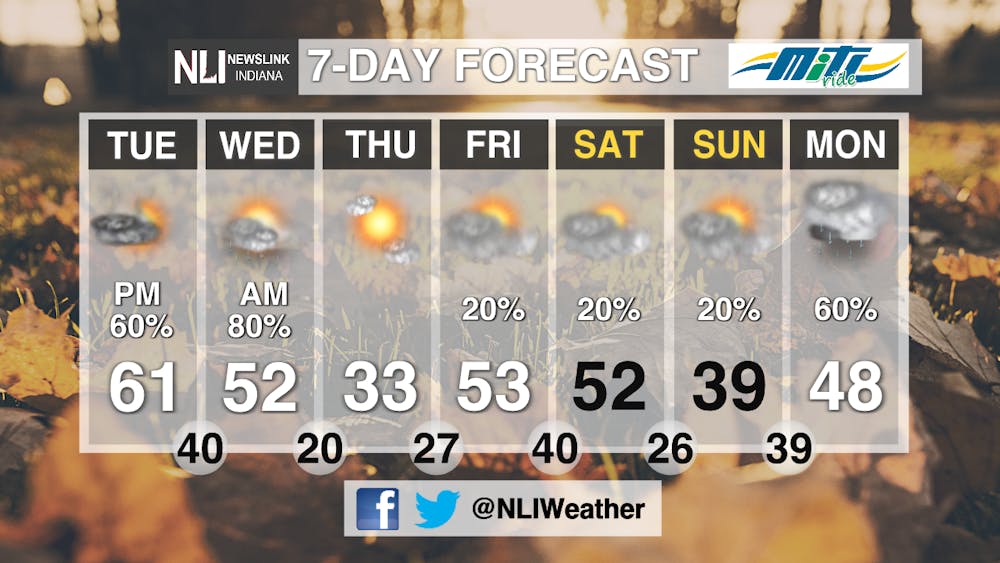
Tomorrow: A much warmer day is expected for Tuesday with temperatures warming up to a high of 61 degrees by mid-afternoon. Clouds will gradually decrease throughout the day with sunshine expected to return by the afternoon. Winds will be coming out of the south at 10-20 mph making for a breezy day too.

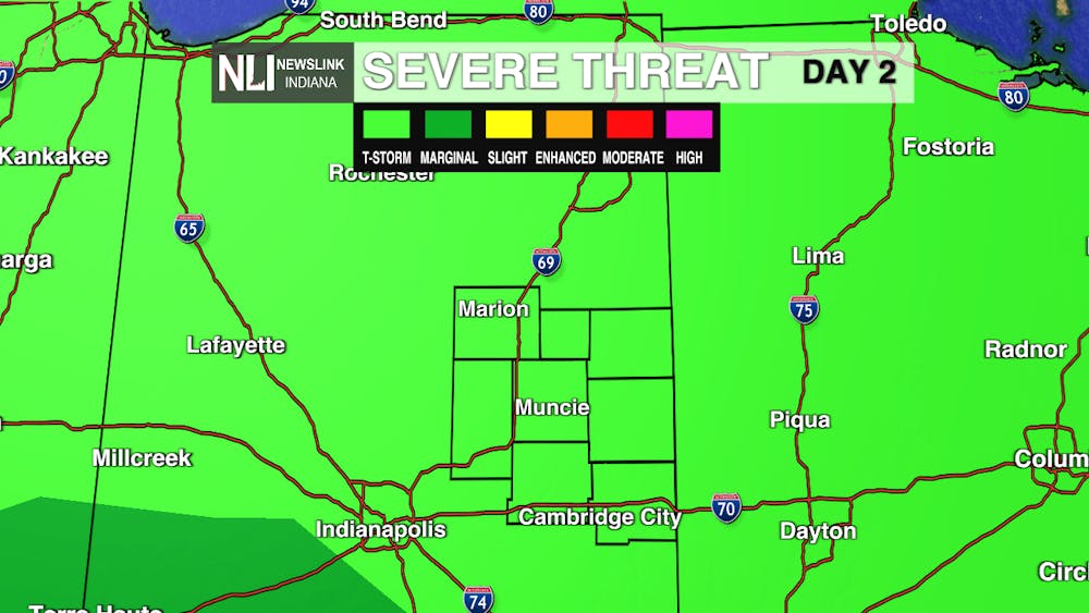
7-Day Forecast: Temperatures will be at their warmest tomorrow with highs topping out at 61 degrees before rain and storms return Tuesday night. Severe weather is not expected but some thunderstorms may be in the mix with the rain. Much colder temperatures return behind a strong cold front early Wednesday which will drop temperatures back to the 30s for the rest of the day and remain that way for Thursday. Highs will rebound once again back to the low 50s for Friday and Saturday before another cold front sends temperatures back to the upper 30s for Sunday. Slight chances of rain are possible from Friday through Sunday but our next widespread chance of rain will hold off until next Monday.
--Weather Forecaster Eric Segbor
Follow us on Twitter @NLIWeather for breaking weather updates.
NewsLink Indiana is a proud Ambassador for the NOAA Weather-Ready Nation program. For more information about the Weather-Ready Nation program please click HERE


