


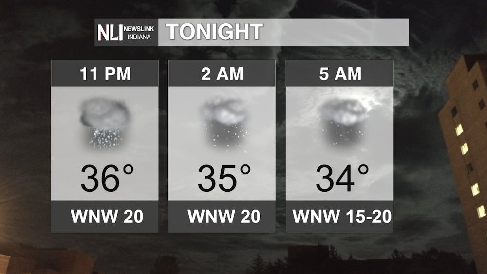
Tonight: Pesky rain and snow showers look to continue for most of our area through the night around a pesky low that brought us some of the earliest snowfall on record & things are expected to continue being chilly and breezy. Definitely time to bundle up if you have any evening plans in mind! Things may be on the slick side as well, so be careful while you are out on the road!
Tomorrow: We continue to have some upper-level energy spinning around the slow-moving low, but it will start to part ways with us through the afternoon and evening hours. Definitely a lot better time for all of us out there, but bear in mind that it will continue to be breezy, so coats in the AM & afternoon jackets will be the fashion trend of the day.

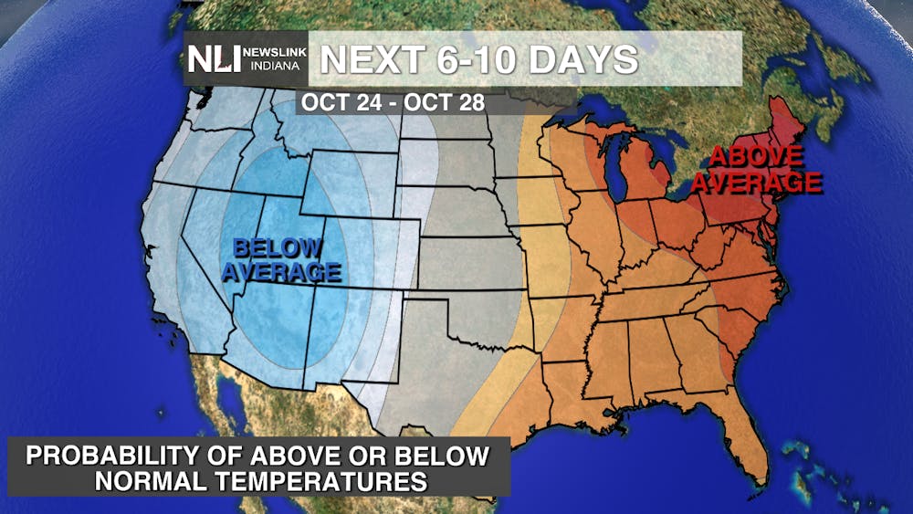
7-day Forecast: Here comes the warm up! After what could be our coldest morning in a while on Thursday (alongside maybe some more showers with some sneaky upper-level energy), clearing and a ridge of high pressure will dominate in time for Homecoming at Ball State Saturday & then groovy 70's will rule the day as we close out the weekend. There's something for everyone in this forecast (and a light at the end of the proverbial tunnel for those of us who want to see this "winter preview" say "see-ya", too)!

--Weather Forecaster Ryan Hill
Follow us on Twitter @NLIWeather for breaking weather updates.
NewsLink Indiana is a proud Ambassador for the NOAA Weather-Ready Nation program.
For more information about the Weather-Ready Nation program please click HERE


