


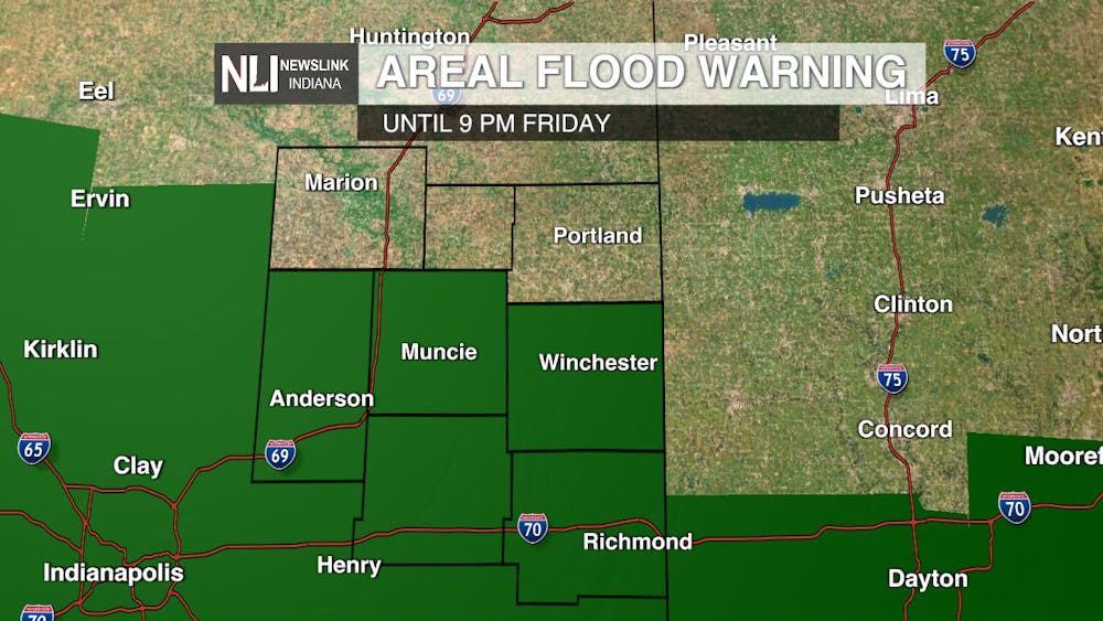
Tonight: Due to the ongoing flooding around the area there is a Flood Warning in effect until 9PM Friday. There is also a Winter Weather Advisory for the viewing area due to the light snow and ice accumulation that is expected tonight. The temps will fall tonight prompting a flash freeze. Flash freezes are caused by standing water on the roads and sidewalks being exposed to rapidly falling temperatures. Travel will be impacted due to this, and expect tonight and tomorrow morning to be the worst of it. As far as the rest of the night, we have a low of 16 degrees with winds blowing from the northwest at 20MPH. Light snow will also be playing a factor tonight but with accumulations staying around an inch.


Tomorrow: The winds will be switching through the day from the northwest to the southwest blowing its hardest at 10 to 15 MPH. Temps will rise through out the day starting at 17 degrees and ending at a high of 28 degrees.

7 Day forecast: Friday and Saturday will be below freezing but temps will rebound on Sunday and the beginning of the work week. Towards the end of the week, temps will then fall and settle around our average temperature for the month.

-Weather Forecaster Jack VanMeter
Follow us on Twitter and Facebook @NLIWeather for breaking weather updates.
NewsLink Indiana is a proud Ambassador for the NOAA Weather-Ready Nation program.
For more information about the Weather-Ready Nation program please click HERE


