


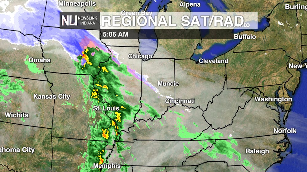
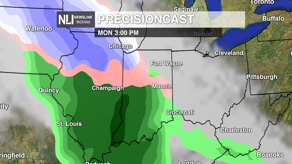
Dreary start to the week today, with rain for most of the day today. a couple of those rain showers could have some freezing or sleet mixed in, but since the ground is still pretty warm don't expect to see much if any accumulation. Do keep an eye out for a slick spot here or there on the roads and or side walks. The best chance for the mixed precip is late morning into the earlier afternoon hours. Transition into all rain by sunset with spotty showers through the evening and into the overnight hours.
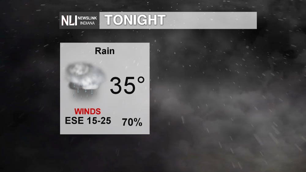
Tonight: Rain continuing throughout the night tonight leading to cloudy conditions for most of the day tomorrow, with a couple of rain showers in the early morning hours. Gusty winds tonight as well but calming down a little bit from this afternoon, some gusts could still reach up to 30-40 mph.

Tomorrow: Nicer day tomorrow though we will have clouds hanging around, but warmer than today. Getting up to 60 degrees tomorrow under mostly cloudy skies, with some showers in the early morning hours before departing before noon. There could be some times tomorrow where we are able to see some clouds. Whether it is cloudy or sunny, make sure you get to take advanced of nicer weather and get some fresh air.
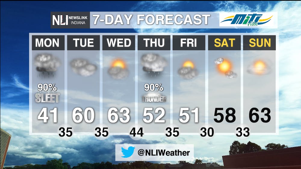
7-Day: Gloomy start to the week but improve with the days ahead. Mixed precipitation today expect temperatures to warm up a little bit before warming up into the 60's tomorrow. Partly cloudy and a high of 63 on Wednesday before we have a chance for another round of precipitation on Thursday. A high of 51 Thursday with rainy conditions. There could also be a couple of rumbles of thunder throughout the day. Sunshine returning Friday and sticking around for the weekend with warming temperatures.
-Weather Forecaster Adam Feick


