


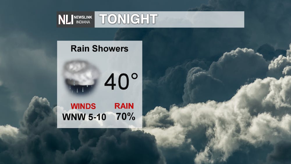
Tonight: With the approaching cold front tonight winds calm down and shift to the Northwest bringing in cooler air to the region with temperatures falling around 40°F. The scattered rain showers that we saw today move out late tonight into tomorrow morning leaving cloudy skies behind.
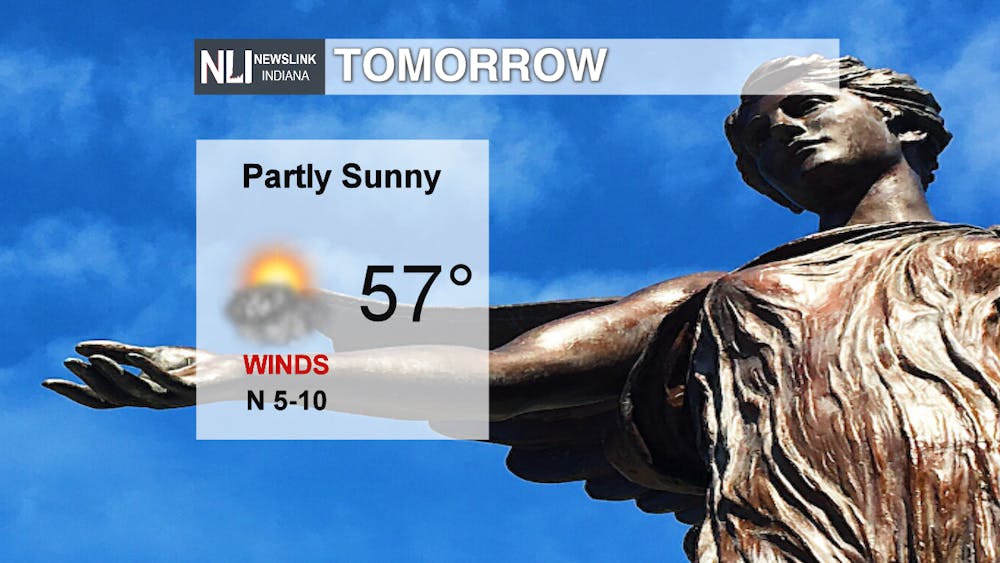
Tomorrow: Friday morning will have a break in the cloud cover with partly cloudy skies. Later in the afternoon possibly even mostly sunny skies with a high of 57°F. Overnight, clouds move back in and temperatures fall into the mid 30’s.
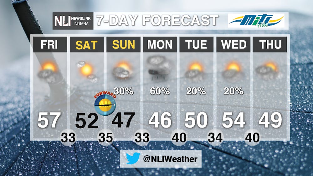
7-Day: The weekend begins with temperatures above average in the 50’s and partly sunny skies. The next weather maker moves in Sunday bringing more rain chances and temperatures back around normal for this time of year. Sunday night into Monday morning temperatures fall around freezing possibly bringing a rain and snow mix to your morning commute. As the work week continues, temperatures make it back up into the 50s with more rain chances to follow.
-------Weather Forecaster Natalie Fitzpatrick
Follow us on Twitter @NLIWeather for breaking weather updates.
NewsLink Indiana is a proud Ambassador for the NOAA Weather-Ready Nation program.
For more information about the Weather-Ready Nation program please click HERE
