


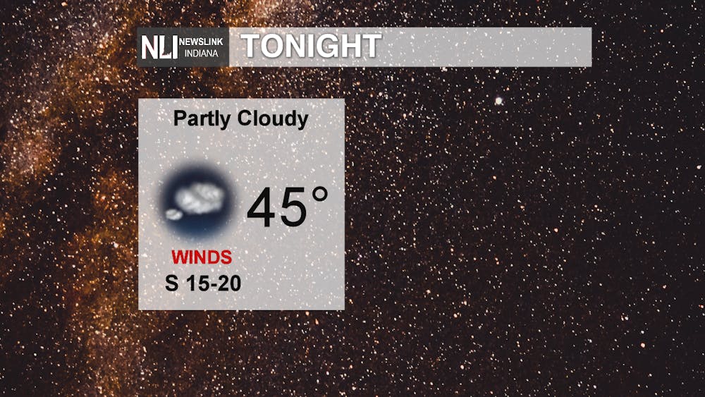
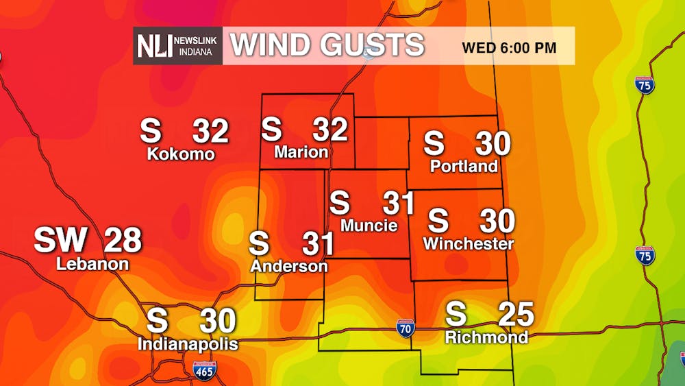
Tonight: Temperatures will continue to stay in the mid 40s with most clouds moving out of the area leading to partly cloudy conditions. Winds will continue to stay breezy throughout the day and leading into the nighttime and overnight hours with some gusts reaching up to 40 mph by midnight.
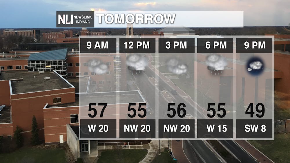
Tomorrow: The next weather system will start to move through the area bring cooler temperatures and rain to the area. Around the noon hours is where we can see the heaviest rain as part of this system before it continues to track eastward. Temperatures will stay in those mid 50s and winds will continue to stay breezy.
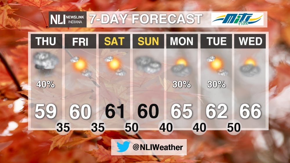
7-Day: With the upcoming cold front moving into the area tomorrow, temperatures will stay in the lower 60s throughout the rest of the week. Conditions dry up by Friday and for the rest of the week. Next week, a few chances of some showers expected to start of the week staying in the lower to mid 60s which will continue fall like temperatures.
- Weather Forecaster Chris Guevara
Follow us on Twitter @NLIWeather for breaking weather updates.
NewsLink Indiana is a proud Ambassador for the NOAA Weather-Ready Nation program. For more information about the Weather-Ready Nation program please click HERE


