
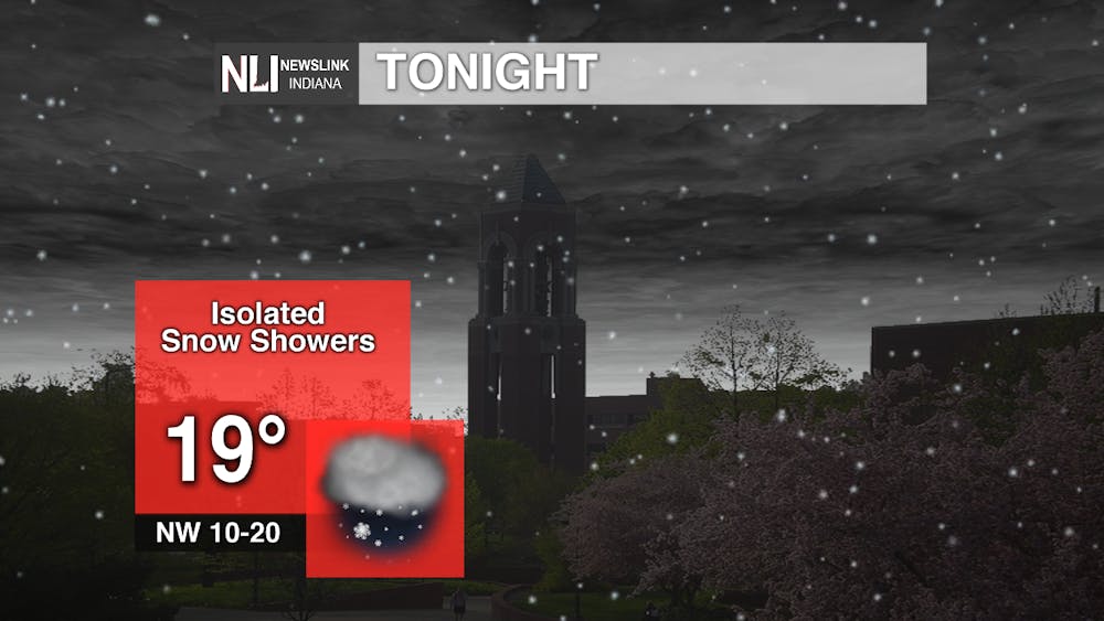
Tonight: Snow from today's winter storm will gradually diminish this evening and into the overnight hours. Watch out for slick spots on the roads as temperatures continue to drop below freezing. Additional snow accumulations of up to one inch are possible.
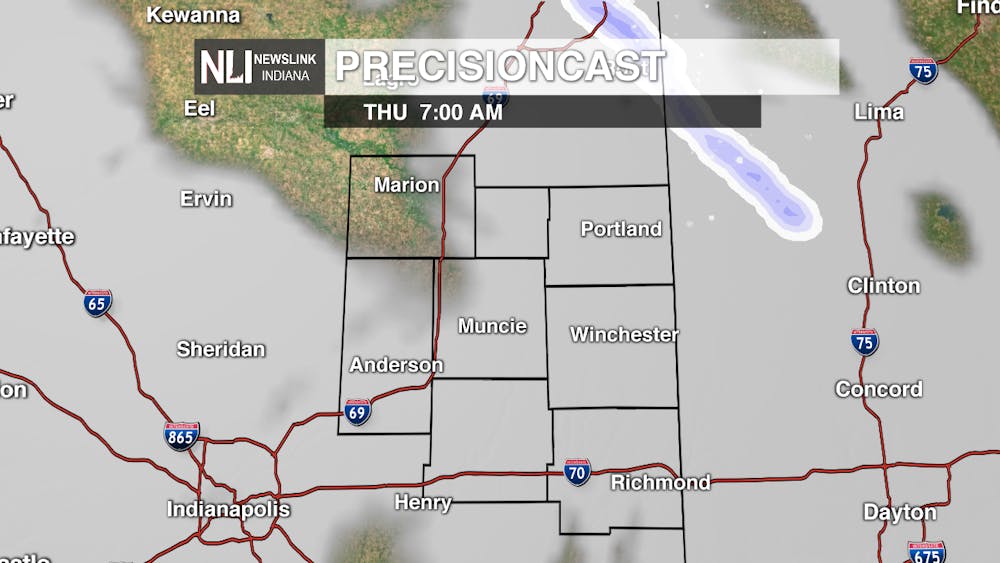
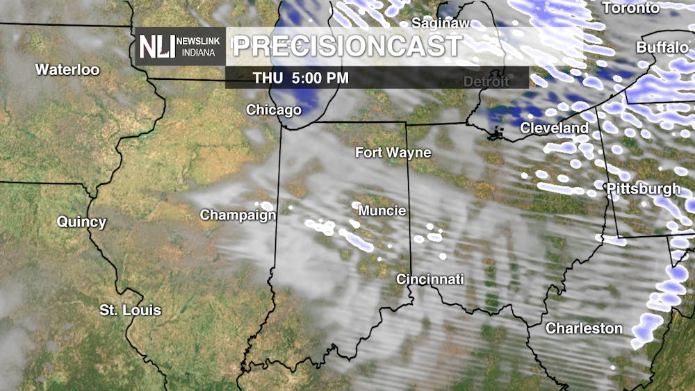
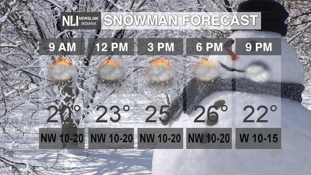
Tomorrow: Partly to mostly cloudy skies are expected tomorrow, with lingering lake-effect snow showers in association with strong northwest winds. These winds will also allow cold arctic air to filter into the region, with high temperatures only reaching the mid-20s. Some additional snow is possible as a weak clipper system passes through by the evening hours, but this snow will be very isolated in nature compared to today. A good opportunity to get out and enjoy the picturesque snow! Making a snowman is a great idea!
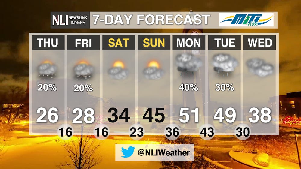
7-Day Forecast: Ball State's spring break looks to start as winter break part 2, but the good news is the cold air will not stick around very long. Highs will return to the 40s and 50s into next week, with more chances for rain arriving to start next week. We hope all Ball State students have a safe and relaxing spring break!
---Assistant Chief Weather Forecaster Nathan Gidley
Follow us on Twitter @NLIWeather for breaking weather updates.
NewsLink Indiana is a proud Ambassador for the NOAA Weather-Ready Nation program.
For more information about the Weather-Ready Nation program please click HERE
Read More

PHOTOS: Fourth of July 2025
By Staff Reports / 8 hours agoIndependence day in Muncie featured celebratory events at Minnetrista Museum and Gardens and Muncie Central Highschool.

Ball State adjusts 51 degree programs amid statewide enrollment mandate
By Trinity Rea / YesterdayIn a statement to The Ball State Daily News, the university says its academic changes reflect long-standing internal planning, not just compliance with new state requirements.
IPR: Trump administration withholds over $100 million in education funding from Indiana schools
By Indiana Public Radio / YesterdayThe Trump administration told states this week that it won’t be dispersing over $6 billion in federal education grants, according to reporting from NPR.
