
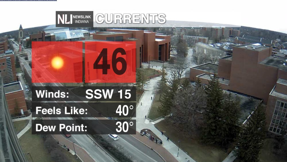
Today: Happy Valentine's Day, Cardinals! Today's highs will be in the mid to high 40s and will make for a comfortable and spring-like day around East-Central Indiana. However, don't let those chocolates and flowers blow away! Winds will be gusting to 30 mph, which could disrupt your plans for a romantic hot-air balloon ride.
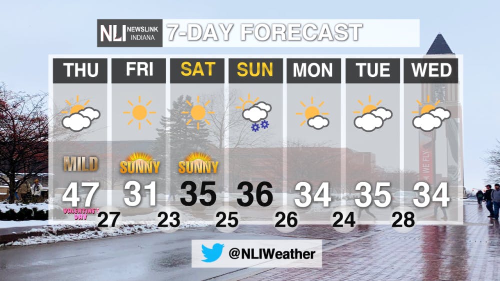
Tonight: A weak cold front will cross our area tonight, bringing a slight chance of showers at around midnight. This cold front will cool us down for the weekend. Lows will be in the 20s, with winds dying down once the cold front passes.

Tomorrow: Clear skies and cold temperatures take over for Friday. The high temperature will be in the low 30s. The winds will decrease throughout the day as a ridge of high pressure encompasses the region. This high pressure will stay in our region until late Sunday night, leading to sunny skies and highs around the freezing mark.

7-Day Forecast: A very dry pattern is expected over the next seven days. Our only precipatation chance comes on Sunday night, with rain and snow showers are possible. Accumulating snow is possible, so stay tuned for the latest forecast updates. Other than the Sunday snow chance, the weather will stay cool and dry in the next week, with sunny skies for a change. High temperatures throughout the next seven days will be a touch above freezing. Enjoy the sunshine!
- Weather Forecaster Shaemus Kreider
Follow us on Twitter @NLIWeather for breaking weather updates.
NewsLink Indiana is a proud Ambassador for the NOAA Weather-Ready Nation program.For more information about the Weather-Ready Nation program please click HERE
Read More

Missed It? We’ve Got You Covered - CommCenter Catch-Up
By Ball State Daily / 5 hours agoWith summer internships ramping up, hanging out with friends and family, and making sure you have enough time for yourself – it’s easy to miss Ball State’s Communication Center announcements! This week’s catch-up highlights free Premium Google AI for students, free planetarium shows for June and July, and 2025 U.S. News “Best Online Programs” announced.

9-1-1 What's Your Hot Take E11: Season Ranking
By Willow Emig and Sam Jasionowski / 5 hours agoIn this episode of 9-1-1 What’s Your Hot Take, Sam and Willow rank the seasons of 9-1-1 from their favorite to least favorite.
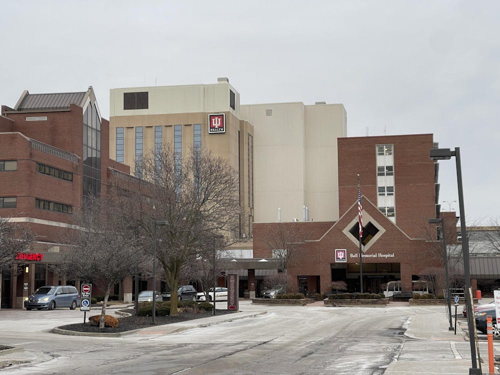
Nurse practitioner offers three easy ways to save more money in healthcare
By Nick Roark / 10 hours agoSeven out of ten Americans believe the healthcare system is in crisis or has major problems, according to a November 2024 Gallup poll on American healthcare.
