
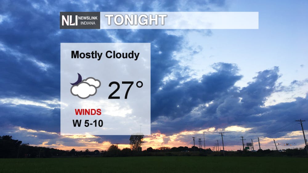
Tonight: Temperatures drop into the upper 20's for our overnight low and mostly cloud skies persist. Winds will remain light.
Tomorrow: Sunshine is back and temperatures will be in the mid-40's. What a better way to start the weekend!

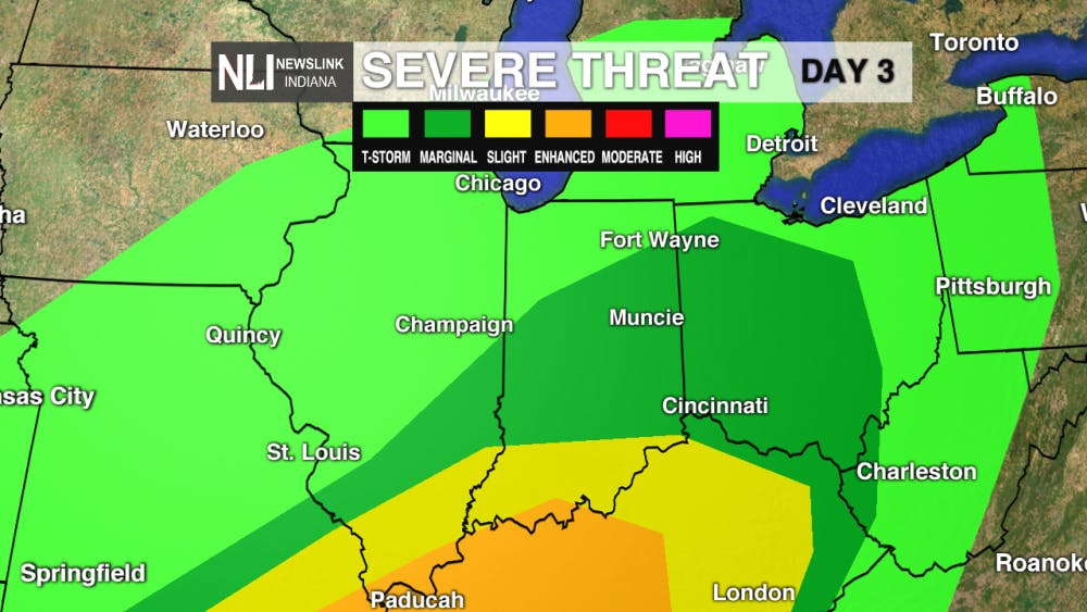
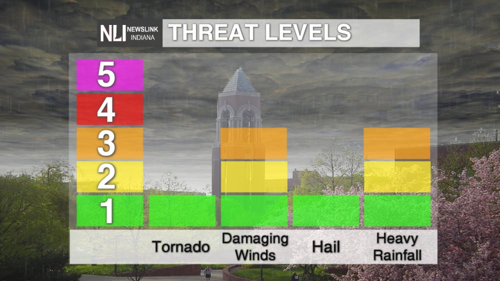
This Weekend: Warmer temperatures mean severe weather threats increase. The Storm Prediction Center has issued a marginal risk for severe weather for most of central and southern Indiana. The greatest threat will be heavy rainfall due as an influx of moisture drives its way northward.
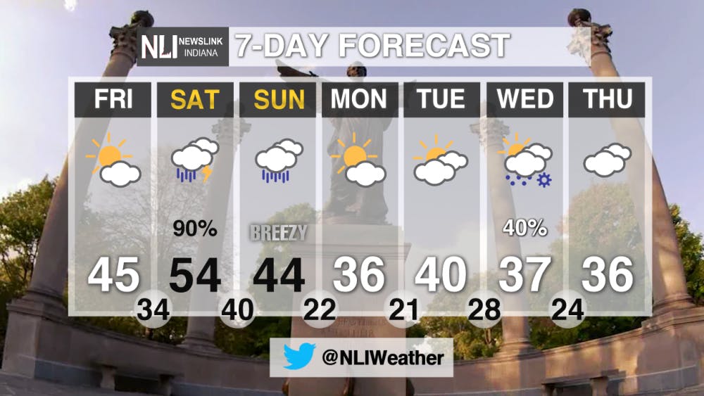
7-Day Outlook: No high temperatures within the 20's within the next 7 days. Warmest temperatures will occur this weekend bringing heightened rain chances and potential severe weather. To start of the work week on Monday, temperatures will be in the mid-30's as well as sunshine will make a return.
-- Chief Weather Forecaster Payton Domschke
Follow us on Twitter @NLIWeather for breaking weather updates.
NewsLink Indiana is a proud Ambassador for the NOAA Weather-Ready Nation program.
For more information about the Weather-Ready Nation program please click HERE
Read More
Missed the Buzz? Here's Your CommCenter Catch-Up
By Ball State Daily / 9 hours agoWith the hustle and bustle of summer – from work and classes to chilling by the pool - it’s easy to miss important updates from Ball State’s Communication Center! This week includes a Gatsby – themed dinner program at the E.B. and Bertha C. Ball Center, asphalt paving projects for 2025, and an upcoming change to campus printing software.
Physical Fitness and Wellness courses will soon no longer be part of Ball State’s core curriculum
By Daniel Kehn / 9 hours agoIn the fall of 2026, Ball State University will implement a new core curriculum with a main focus on reducing the number of credit hours closer to the state minimum.
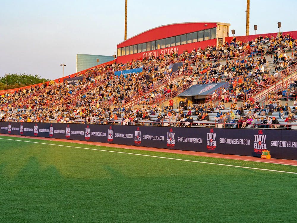
BSU, Indy Eleven Partner to Provide Free Training and Game Access for Indiana Youth Coaches
By Ball State Daily / 14 hours agoBall State University’s College of Health is partnering with Indy Eleven to offer a unique professional development opportunity for Indiana youth coaches and educators.
