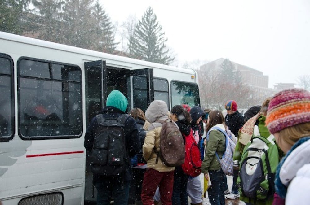
Thursday's dusting of snow, and the forecasted two to three inches by Friday morning, is just the beginning of the delayed season for winter weather.
It's not just because of the mild winter we've had so far. It spurs from a pressure pattern in the Atlantic Ocean, well away from the United State, said Alex March, a meteorology major and general manager at WCRD.
"You've heard of El Niño and La Niña," he said. "This is a La Niña year," meaning the it's unusally cool in the Pacific Ocean near the equator.
A strong cold front is pushing through Central Indiana and the Great Lakes.
"[Friday], it's going to be kind of nasty," he said, indicating temperatures of 20 degrees, winds of 30 to 40 mph and a wind chill below zero degrees.
"We've had a warm weather pattern the last few weeks. Well, that's changing," he said.
A cause of that change is the North Atlantic Oscillation, which affects weather in the North Atlantic region, influencing wind speed and direction, temperature and moisture.
"When that NAO gets strong, we start to see colder temperatures," he said. "It's got its act together these last few weeks."
A winter advisory is in effect through 1 p.m. Friday. Northwest winds are expected to gain strength behind a storm system, resulting in blowing snow and colder temperatures.
Light snow showers and very cold temperatures are forecasted for Friday through Wednesday, according to the weather service.
March expects cooler weather through mid-March, even into Spring Break, and he warns that students might not be able to escape it if they leave for vacation. The cool weather system will affect the whole country, especially the eastern U.S., he said.


