


Tonight: Severe thunderstorm watch in effect until 11 p.m. leaving us with cloudy conditions for the overnight hours. This doesn't cooldown the temperatures though you can expect a low of 67 degrees and winds from the south-southwest at 10 mph but gusting up to 25 mph.
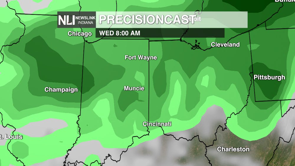
Tomorrow: April showers bring may flowers and that is what tomorrows conditions have in store for us. Scattered showers throughout tomorrow but those temperatures starting off in the high-60s and getting up to near 80 by the end of the day meaning this would be the 24th day of 70 degrees or warmer since the start of this year. Southwest winds at 10 to 15 mph but gusts as high as 30 mph.
Seven-Day Forecast: Seems like summer now but not for long. You will need that rain coat as we have multiple days with scattered showers and even possible thunderstorms. The rest of the week expect temperatures to be in the 80s and 70s but then a quick cooldown moves in after rain pushes through Saturday decreasing temperatures by 19 degrees. Leaving us with a cool opening to early next week.
- Assistant Chief Weather Forecaster Elizabeth Myers
Follow us on Facebook, Instagram, and X @NLIWeather for breaking weather updates.
NewsLink Indiana is a proud Ambassador for the NOAA Weather-Ready Nation program.
Click here for more information about the Weather-Ready Nation program
