


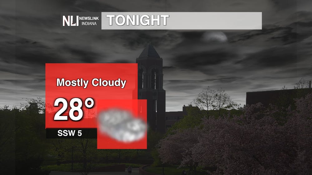
Tonight: Warm air will increase along with dew points rising as well. Due to this warm air being pushed into our area, warm moist air combined with existing snow cover & cold grounds could possibly create patchy areas of fog.
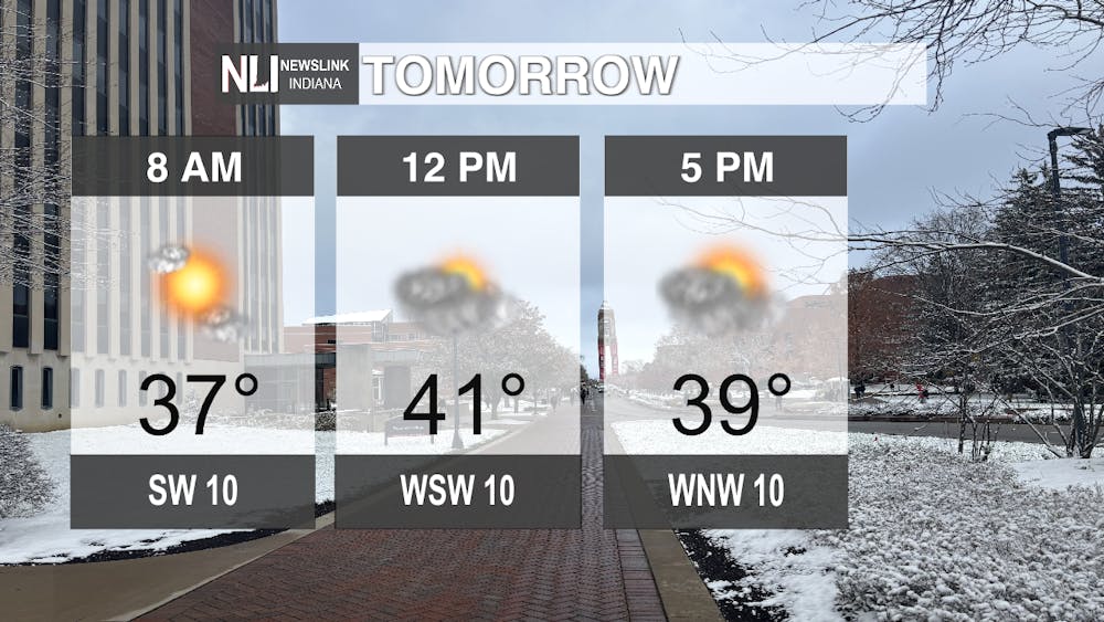
Tomorrow: The increasing warm air ahead of a cold front from the west will assist with higher temperatures on Tuesday. Continuing on throughout the day moisture from the previous night will slowly make its way out of our area as the front pushes through increasing cloud coverage and shifting the wind direction. Expect drier conditions Tuesday evening as high pressure builds behind the front. Cooler air from the passed cold front will lead to colder temperatures Tuesday evening into early Wednesday morning.
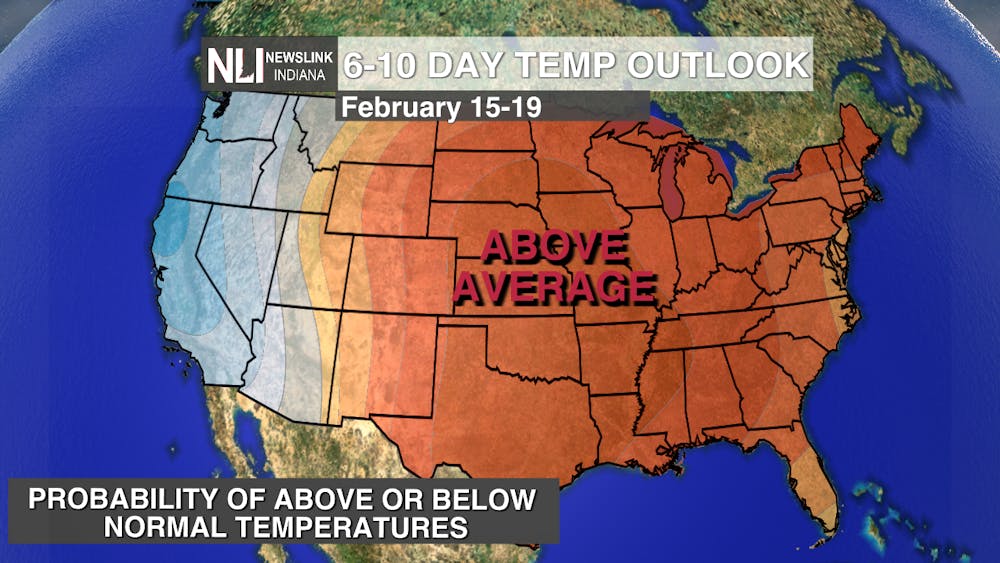
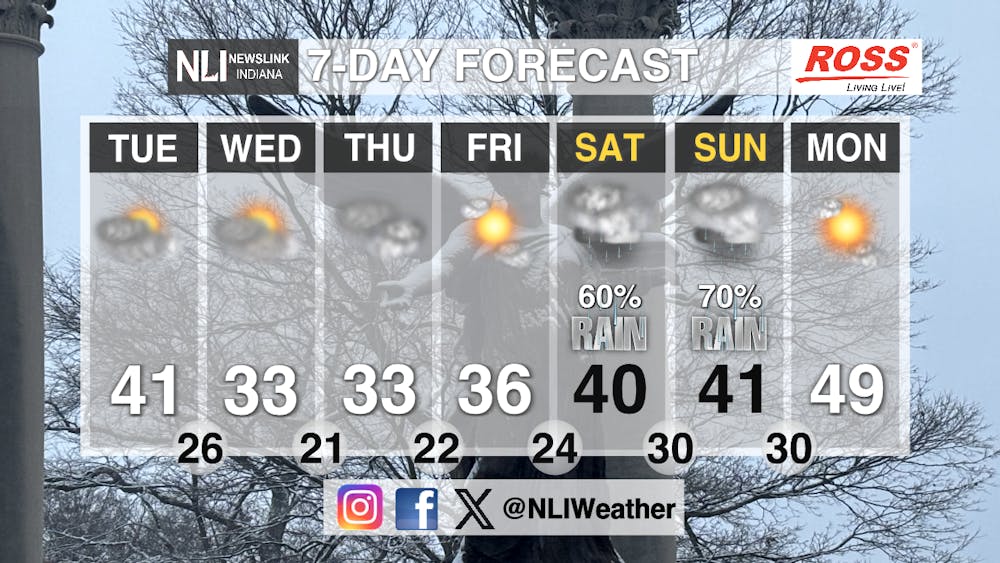
Seven-Day Forecast: Uncertainty in forecast increases towards the end of the week as models continue to contradict one another. A weak system approaching from the northwest increases possible chances of precipitation Thursday and Friday. However, with limited moisture and such model debate, chances of precipitation are low. Variability continues into the weekend as a small trough approaches the area bringing about potential for rain/snow. Temperatures will remain warm enough that most of what falls will be precipitation, but still close enough to freeze enabling potential snow mix.
- Weather Forecaster Rachel Fulton
Follow us on Facebook, Instagram, and X @NLIWeather for breaking weather updates.
NewsLink Indiana is a proud Ambassador for the NOAA Weather-Ready Nation program.
For more information about the Weather-Ready Nation program please click HERE
