


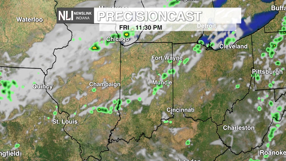
Tonight: Tonight, skies remain mostly clear due to a high-pressure system. Temperatures drop back into the lower 60s tonight with warm east southeasterly winds around 5 mph.

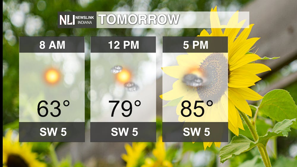
Tomorrow: Friday has a cool start to the morning but will eventually reach 85°F later in the afternoon. Mostly sunny skies to be expected with calm southwesterly winds with only a slight chance for a pop-up rain shower. Overnight, temperatures will drop back into the mid to lower 60s again.
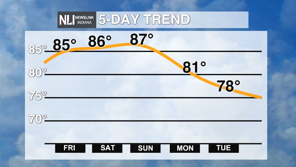
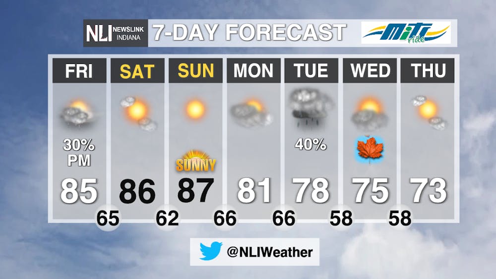
7-Day: This weekend will remain above average in the lower to mid 80s but then fall right around average for this time of year in the mid to upper 70s starting Monday. A chance for rain moves into the forecast come Tuesday and sticks around in the morning for the first official day of Fall on Wednesday. There is some uncertainty as to the timing and how much rain we will get. Stay tuned to NewsLink Indiana for more updates as we get closer to next week!

-------Assistant Chief Weather Forecaster Natalie Fitzpatrick
Follow us on Twitter @NLIWeather for breaking weather updates.
NewsLink Indiana is a proud Ambassador for the NOAA Weather-Ready Nation program.
For more information about the Weather-Ready Nation program please click HERE
