


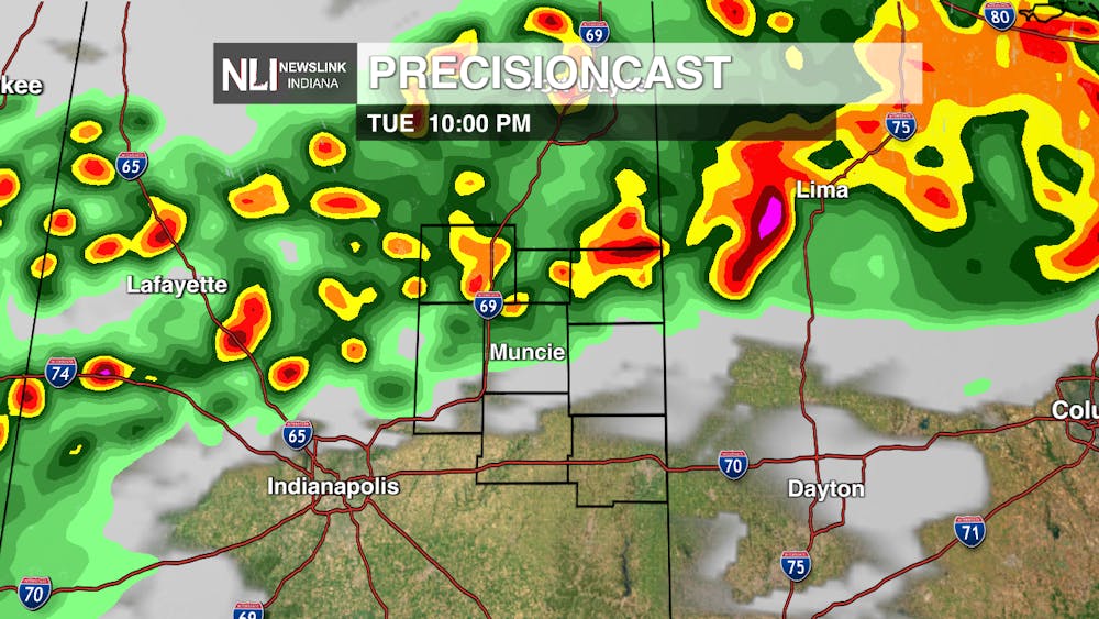
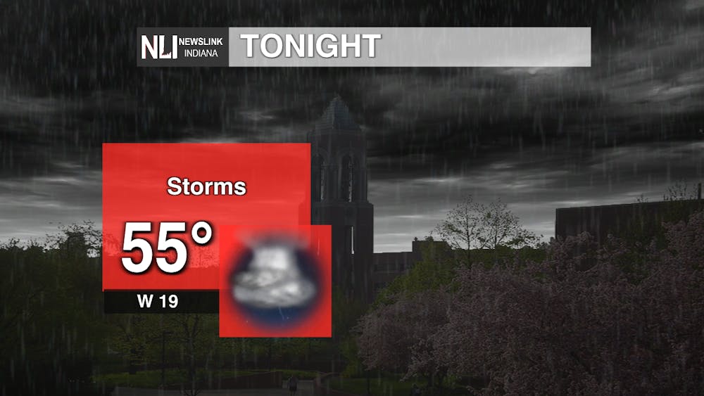
Tonight: We will see a low of 50 degrees tonight along with a line of thunderstorms brought on by a cold front. No severe risk for the thunderstorms but gusty winds can be expected.
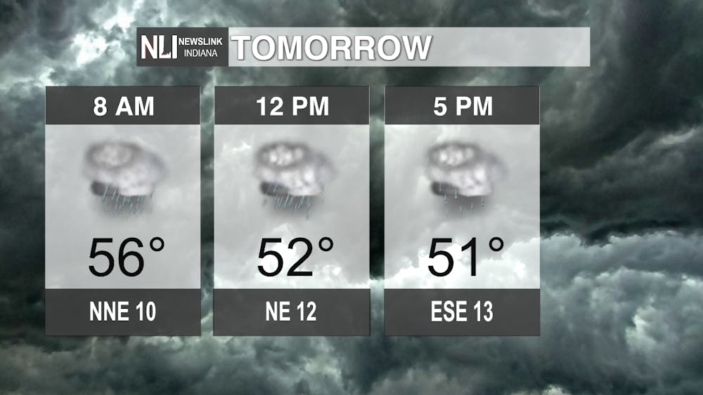
Tomorrow: Temperatures are going to stay around the low-to-mid 50s with widespread rainfall around the area. Showers should be lasting through most of the day ending during the evening hours the the cold front makes its way south. Variable winds can still be expected at 10 to 15 mph.
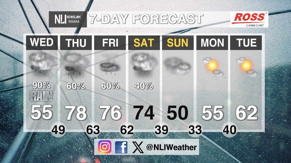
Seven-Day Forecast: Starting Wednesday we will see a quick cool down with temperatures as a cold front makes its way through the area. Thursday will warm back to the high-70s but gusty winds will be blowing around the area. The warm temperatures will continue to linger around the area during the weekend with partly cloudy conditions. We will take another dip in temperature to 50 degrees on Sunday, but then slowly warm back up going to the next week.
-Weather Forecaster Jonas Hinderer
NewsLink Indiana is a proud Ambassador for the NOAA Weather-Ready Nation program.
Follow us on Facebook, Instagram, and X @NLIWeather for breaking weather updates.
For more information about the Weather-Ready Nation program please click HERE
