


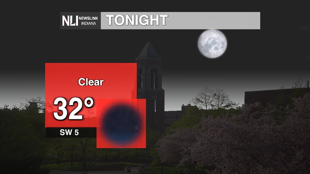
Tonight: Chilly temperatures persist through the night, keeping mostly clear skies with a few lingering clouds. Winds will be calmer than what we have been experiencing throughout the day these past few days. A coat will definitely be needed if you need to get out tonight!
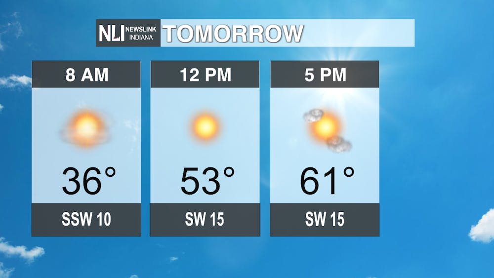
Tomorrow: Leading into tomorrow morning, staying in the upper-30s as you are heading to the bus stop in the morning. Heavy coats still will be needed, and definitely shouldn't be put up anytime soon, especially with the nighttime lows and morning highs we have been experiencing. Leading into the afternoon, temperatures will begin to ramp up to the upper-50s, eventually reaching our high of 61 degrees by the evening hours. Winds will pickup throught the day, reaching near the 20 mph threshold. Overall, it will be a breezy, but sunny, and definitely warmer day than what we have been seeing here in our region lately!
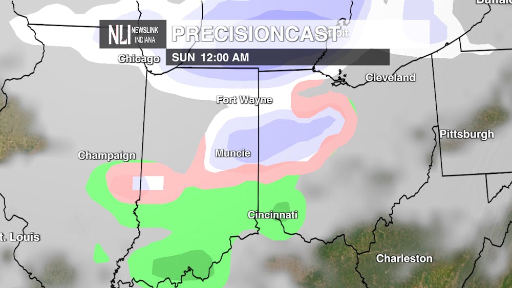
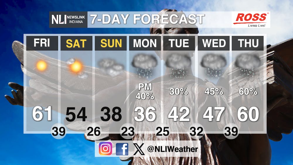
Seven-Day Forecast: Looking into the week ahead, we can see the temperatures start to ramp up, but not for long! As Friday and Saturday will be much warmer than our average for this time of year, Sunday we start cooling back off with the mixture of rain and snow moving into our region and staying around for the rest of the week, eventually turning into just rain because the warmer temperatures won't allow for snow to accumulate. A rocky rollercoaster for our next week, try to take advantage of the warmer weather for the next few days! Happy spring break!
- Weather Forecaster Kendra Heath
Follow us on Facebook, Instagram, and X @NLIWeather for breaking weather updates.
NewsLink Indiana is a proud Ambassador for the NOAA Weather-Ready Nation program.
For more information about the Weather-Ready Nation program please click HERE
