

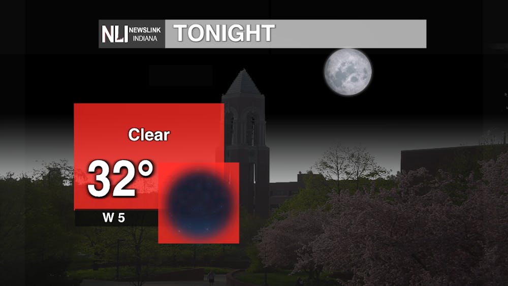
Tonight: An area of high pressure from the south will move up north. As the night progresses wind near the surface will calm down because the layer of air that produces gusts, mixed layer, will no longer be active. With a combination of high pressure and the weakened mix layer, winds will be a lot calmer tonight. Tonight's clear skies will allow for more radiational cooling. With light winds and clear skies, temperatures will drop more efficiently pushing tomorrows morning temperatures into the upper-30s.
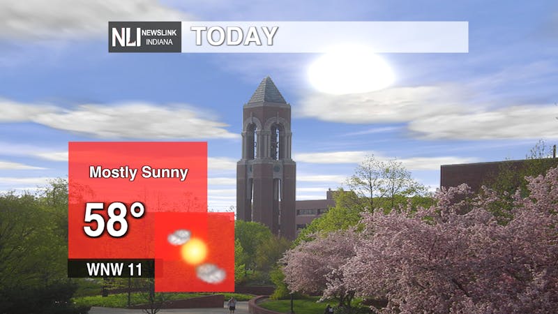
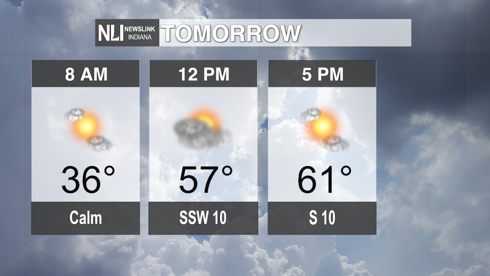
Tomorrow: Tuesday looks to be more quiet; mild dry day. This is because Tuesday will be sandwiched in between systems. Mondays front will have already made its way through our area, but Wednesdays front hasn't arrived yet. Temperatures will be in the low-60s with mostly sunny skies. Winds will remain pretty light and moderate shifting south-west to south throughout the day. Overall it'll be a pretty calm and pleasant fall day starting off cooler in the morning and heating up towards the afternoon.
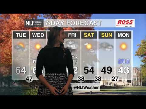
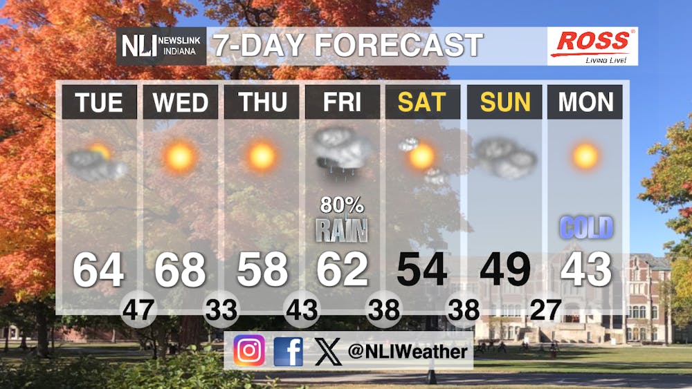
Seven-Day Forecast: The next several days will be a roller coaster of weather conditions and temperatures. Starting out this week upper level flow will remain mostly west to east, so weather occurrences will move quickly but stay weak. This will give us our more dry and mild conditions. But as we continue on, a deep trough will develop in the western U.S. allowing for new low pressure to form in the northern plains. This along with moisture from the gulf will increase the chances of rainfall Thursday through Friday. Another trough from the south, not far from the main front will enforce cooler air and possible scattered showers this weekend. This will cool things down a lot with below average temperatures for the end of the weekend into early next week. Next week will be the start of dry, chillier conditions.
-Weather Forecaster Rachel Fulton
Follow us on Twitter @NLIWeather for breaking weather updates.
NewsLink Indiana is a proud Ambassador for the NOAA Weather-Ready Nation program.
For more information about the Weather-Ready Nation program please click HERE