


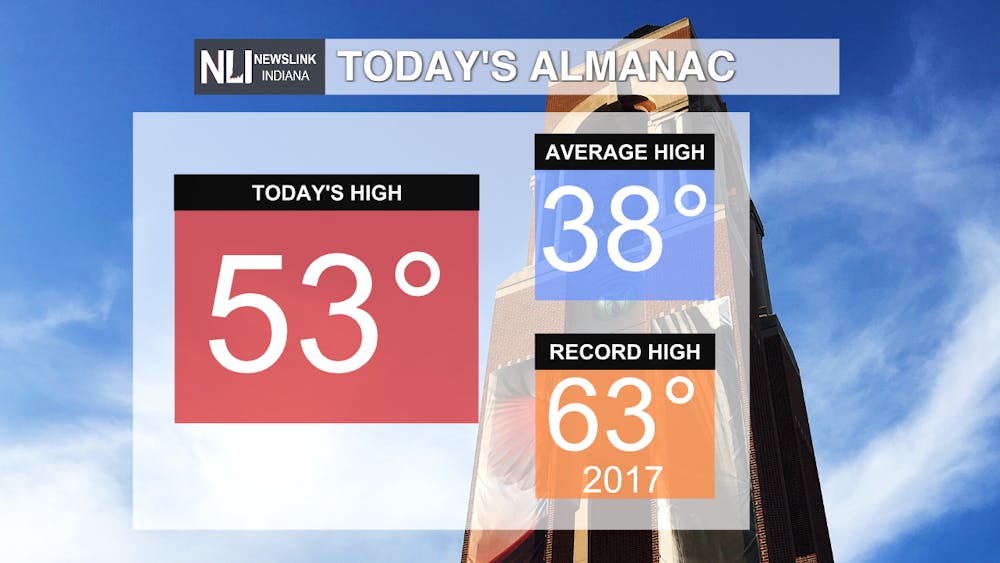
Today: Mild day with highs in the low to mid 50s. Plenty of sunshine will engulf the region with calm winds. Overnight lows drop to the mid 30s before a major warmup ends the workweek.

Tomorrow: Very warm conditions dominate the area, with temperatures nearly pushing the 60 mark. Partly cloudy in the early part of the day, before more cloud cover moves in throughout the evening. Breezy conditions with 20-25 mph winds. Overnight lows remain in the 40s before potentially record warmth Friday.

7-Day Forecast: After a warm Thursday, Friday is on track to potentially set records for warmth before a cooldown starts the weekend. Friday also poses a chance of rain and thundershowers as a cold front moves through. The weekend starts off cloudy before clearing up and remaining calm and mild. Temperatures finally drop by the start of next week, but only to seasonal after the big warmup. Conditions remain dry besides Friday's chance of rain and storms.

- Weather Forecaster Jay Lesyk
Follow us on Twitter @NLIWeather for breaking weather updates.
NewsLink Indiana is a proud Ambassador for the NOAA Weather-Ready Nation program. For more information about the Weather-Ready Nation program please click HERE
