
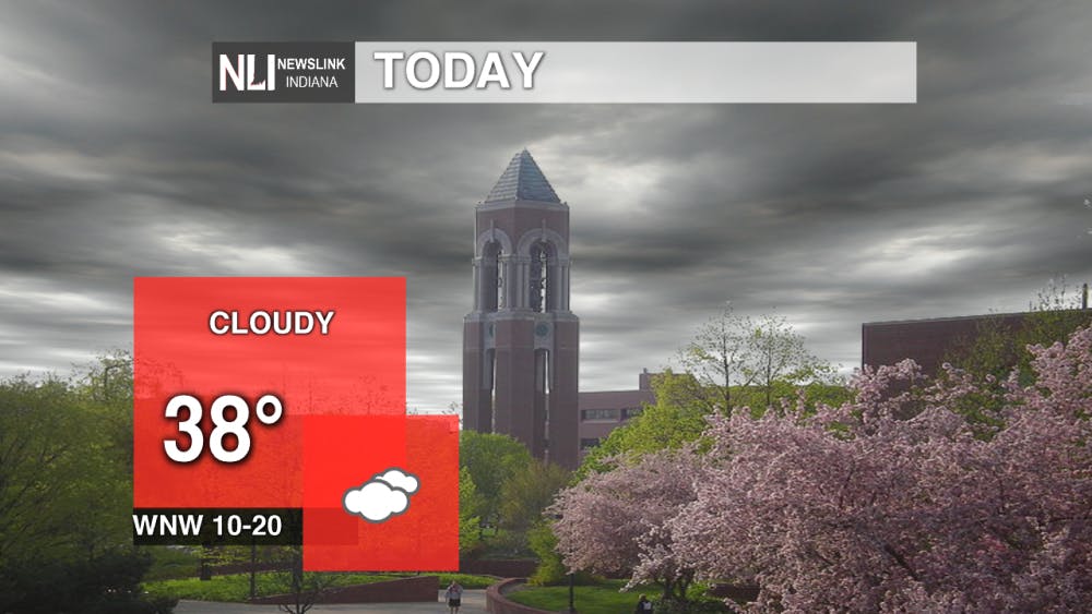
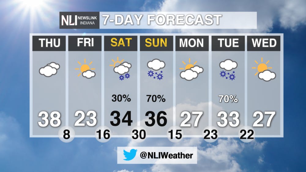
Today: It will be cloudy with a high of 38 degrees, but this high will occur in the morning as temperatures will sharply decrease throughout the day! Winds will be out of the WNW at 10-20 mph.
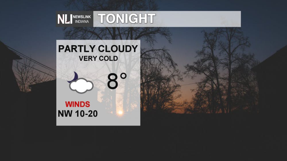
Tonight: It will be very cold tonight with a low of 8 degrees, with winds out of the NW at 10-20 mph. Wind chill values could be -10 degrees! Be sure to bundle up with multiple layers if you are heading outdoors tonight. Frostbite and hypothermia can occur in as little as 30 minutes. It is advised though that you do stay indoors to keep warm.
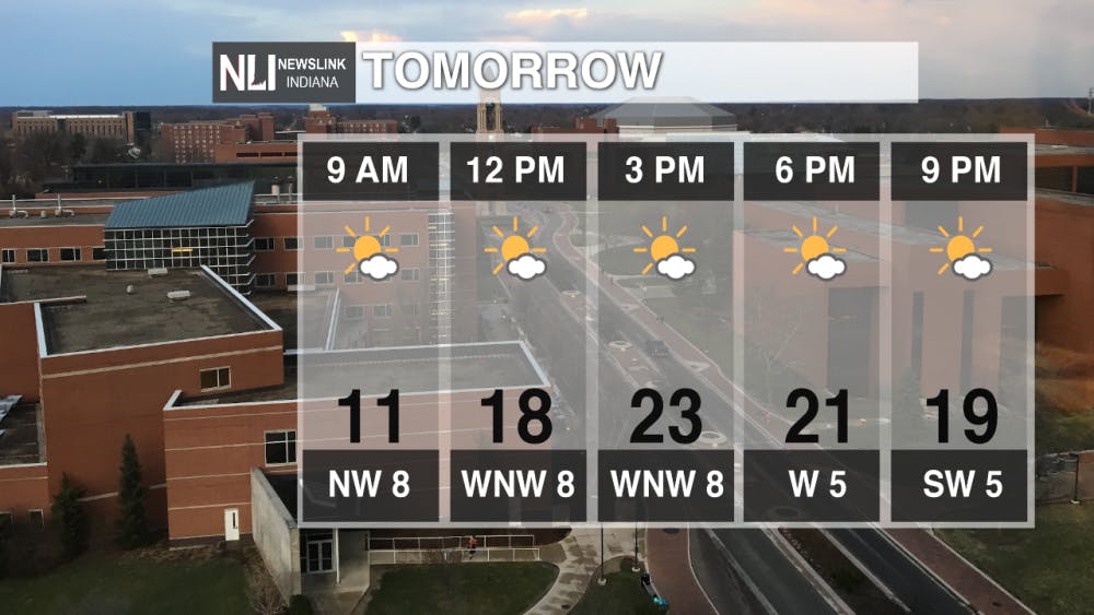
Tomorrow: For groundhog's day, it will be cold with a high of only 23 degrees. Winds will be out of the WNW at around 8 mph. Be sure to stay bundled up.
7 Day: This weekend an Alberta Clipper System will impact Indiana. Sunday will see the best chance for accumulating snow, so be sure to stay safe out there on the roads! Prepare the winter gear for any situation that may come while being out on the roads! Temperatures will stay in the mid-30's for the highs.
--Weather Forecaster Steven Diana
NewsLink Indiana is a proud Ambassador for the NOAA Weather-Ready Nation program.
Read More

Top-seeded Cardinals’ postseason run ends with upset loss to Lindenwood
By Adam Altobella / 9 hours agoNo. 10 Ball State was upset by No. 18 Lindenwood in a five-set battle (25-20, 21-25, 25-23, 19-25, 11-15) on the Cardinals’ home court Thursday night. With how scarce at-large bids to the NCAA men’s volleyball tournament are, it is likely that the red and white’s 2024 campaign is over.
Thunderstorms likely tonight
By Lance Huffman / 11 hours agoWeather Forecaster Lance Huffman is tracking the potential for some strong/severe thunderstorms tonight.

Retired high school teacher holds presentation about history of Berlin Wall
By Emma Matlock / 16 hours agoTom Schwartz, a retired Bluffton High School Teacher, talks about the art on the Berlin Wall on April 15, 2024.
