
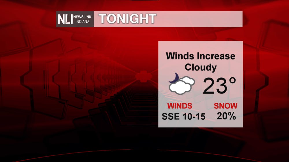
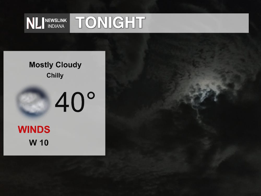
Tonight:
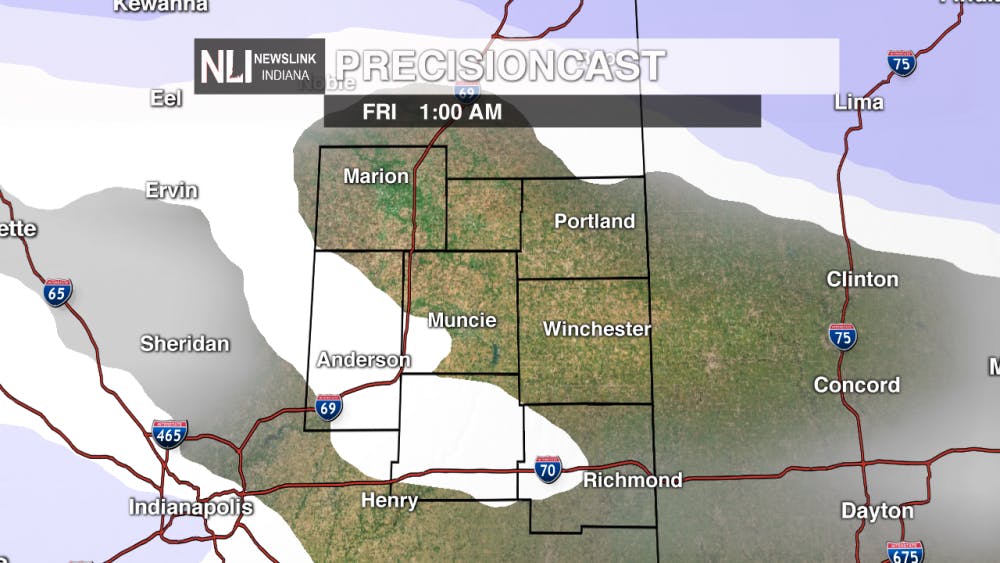
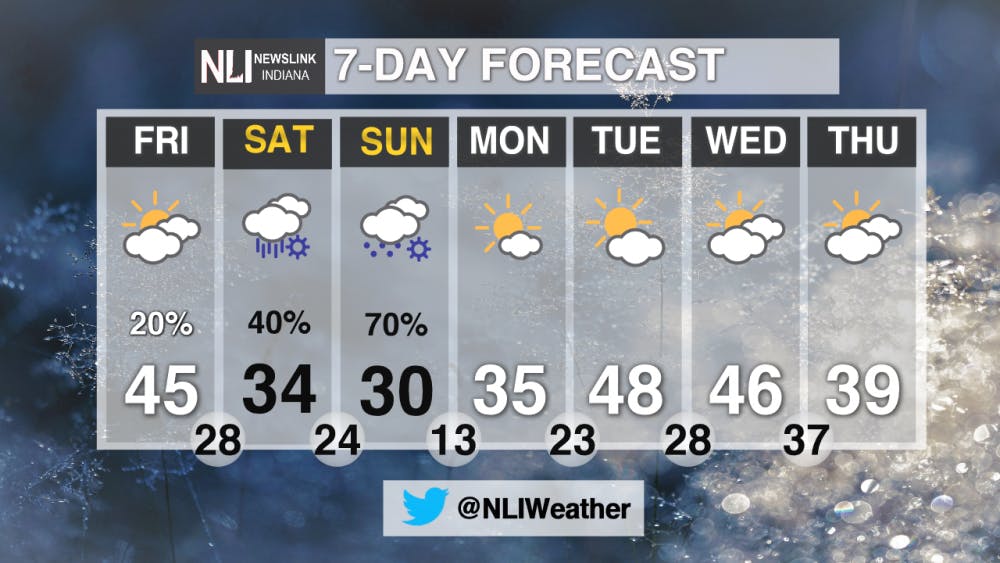
Overnight lows will drop down to 23 degrees with increasing winds. We carry a 20% chance of snow overnight, with a brief flurry or two possible. Major snow totals are expected in the far northern portions of Indiana into Ohio, Michigan, and Illinois, with 6-12" possible for most areas. Through Delaware County, we should not see snow accumulation.
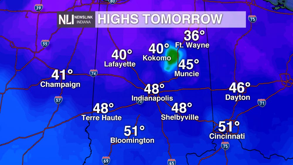
Tomorrow:
Temperatures climb to around 10 degrees above average for this time of year tomorrow in Muncie. Temperatures across the state will span the mid 30's, with some regions in southern Indiana breaking the 50 degree mark. With these warmer temperatures, we will see snow begin to melt.
This Weekend:
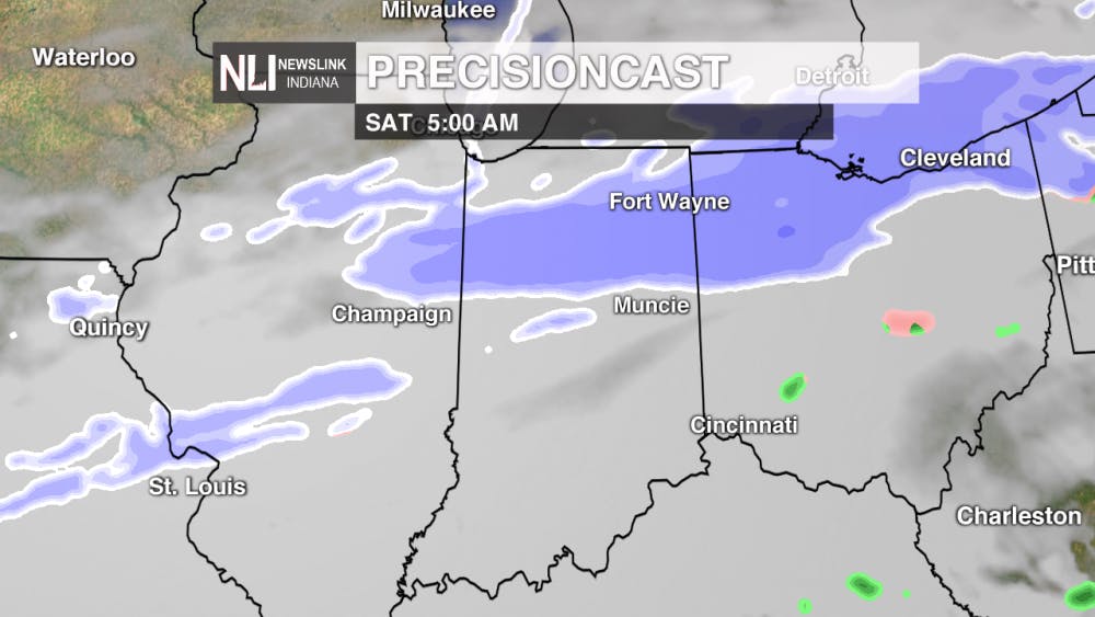
One word to describe the upcoming weekend - active. We'll see widespread snow through early Saturday morning. After, we'll see an overcast midday free of snow before it returns into central Indiana around 6 pm. Sunday morning calls for a tricky forecast, with freezing rain, sleet, and snow all in play for the morning hours. While models are showing Muncie right between the freezing rain and snow dividing line, this forecast is still subject to change.


7-Day Forecast:
After an active weekend, we'll see clearing conditions ensue, with temperatures above average through Thursday.
-- Chief Weather Forecaster Balint SzalavariNewsLink Indiana is a proud Ambassador for the NOAA Weather-Ready Nation program.
For more information about the Weather-Ready Nation program please click HERE
Read More

Man who self-immolated outside Manhattan courthouse where Trump trial is adjourned pronounced dead
By Staff Reports / 2 hours agoAzzarello was initially extinguished and rushed away by emergency services. He was in critical condition at Weill Cornell Medicine - Burn Center, according to a press conference held by the New York Police Department (NYPD).
Stretch of cooler temperatures entering into the weekend
By Evan Reed / 8 hours agoWeather Forecaster Evan Reed has the latest on the continuing cooler temperatures next week.
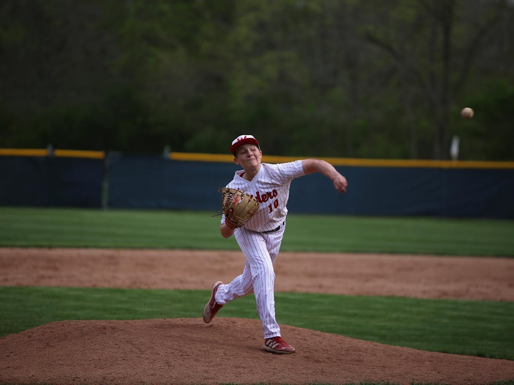
‘The program is still alive:’ Wapahani baseball defeats Alexandria on Raiders’ special night
By Zach Carter / 11 hours agoAfter having multiple ceremonies before the game, Wapahani baseball defeated Alexandria 4-2. Raiders' starting pitcher Kayson Perdue threw a complete game with six strikeouts.
