
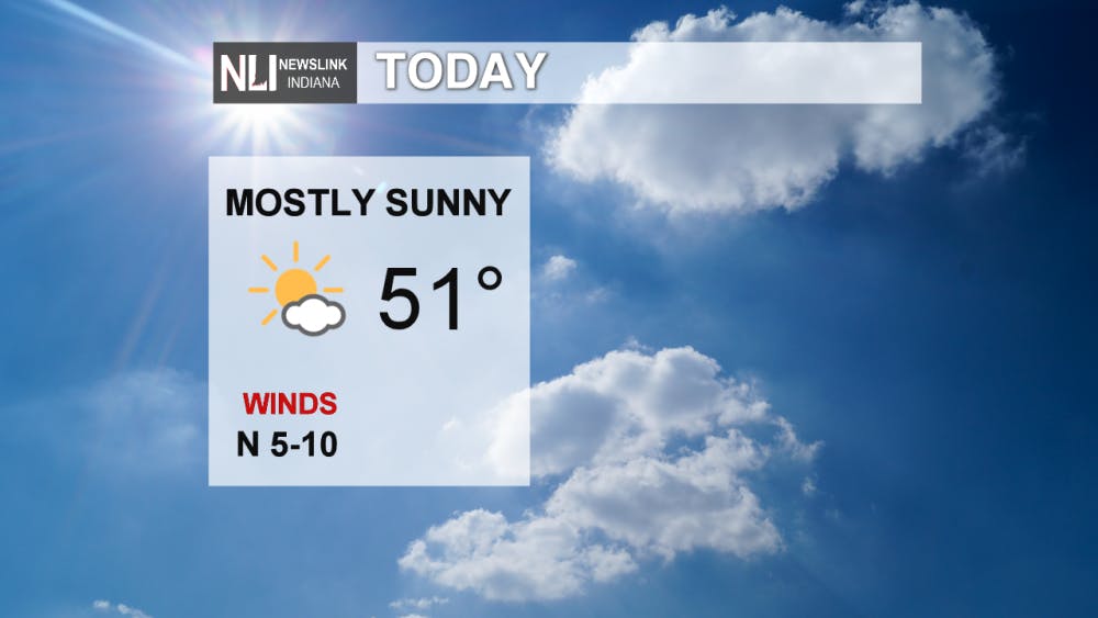
Today: A sunny, comfortable fall afternoon, with high temperatures reaching the lower 50s. A great day to head outside and enjoy the fall color!
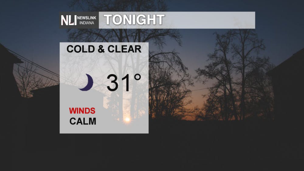
Tonight: Clear skies will allow temperatures will drop to around freezing overnight. Expect to see patchy frost on the ground when you wake up tomorrow.
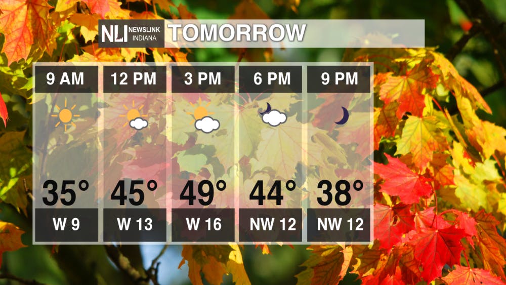
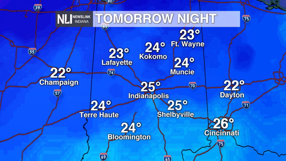
Tomorrow: Another warm fall day is expected, with a high of 52°. Bundle up and turn the heater on tomorrow night! Our coldest air of the season is on the way, as low temperatures will drop all the way into the low 20s. Widespread frost is likely; bring in any plants that are still growing outside!
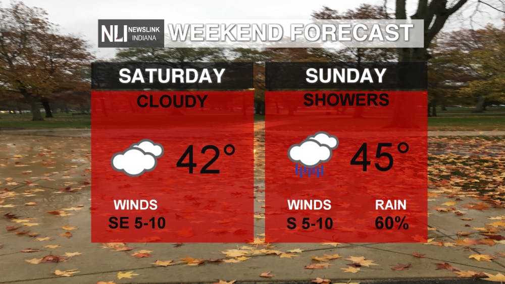
Weekend Forecast: A cloudy and gloomy weekend is expected, with high temperatures in the low to mid-40s. Any weekend plans should be done on Saturday, as Sunday will feature the return of rain showers.
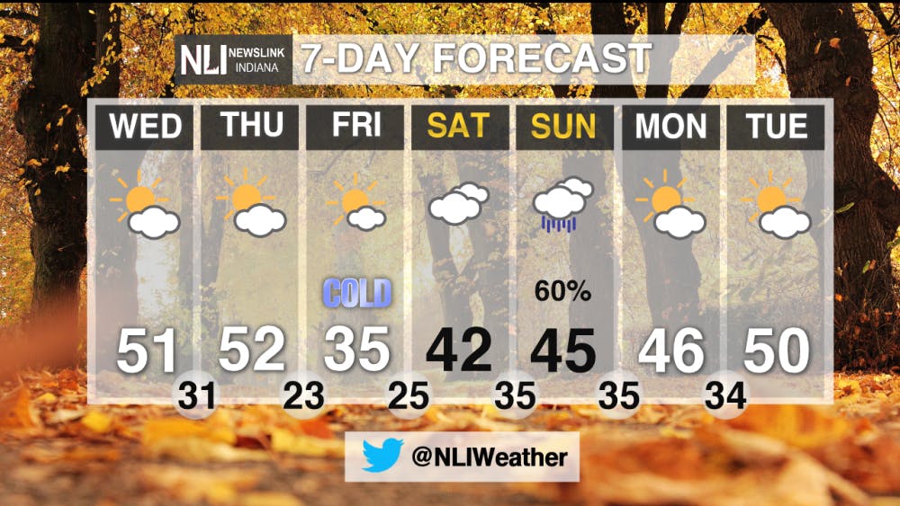
7-Day Forecast: Nice weather is expected over the next two days until very cold air moves into the area on Friday. Daytime high temperatures will struggle to make it into the middle 30s. Overnight lows will feature our coldest air of the season. The weekend looks gloomy, but seasonably cool and sunny weather will return early next week.
Follow us on Twitter, @NLIWeather.
---Weather Forecaster Nathan Gidley
NewsLink Indiana is a proud Ambassador for the NOAA Weather-Ready Nation program.
Read More

Representation for all
By Jayden Vaughn / 3 hours agoThe LGBTQ+ community is finally getting the comprehensive on-screen representation that it deserves.
Bearcat pitching struggles lead to Muncie Central loss at Delta in Delaware County baseball clash
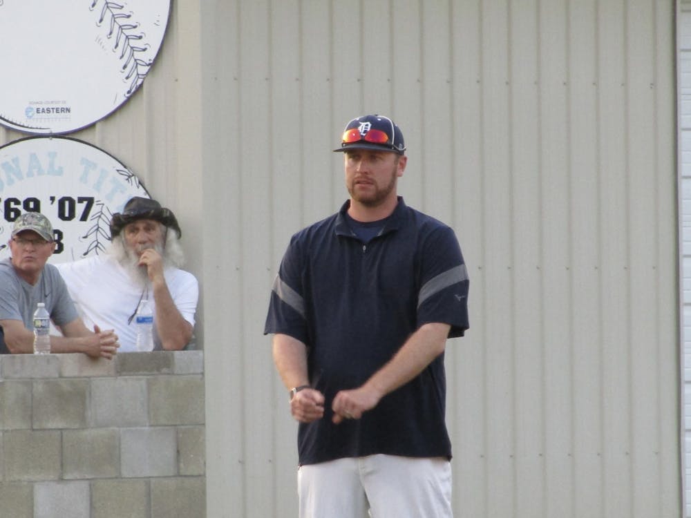
By David Moore / 17 hours agoAt the end of the evening, it was the Eagles who ended their four-game skid as Delta took the victory against the Bearcats 16-1 in five innings. Delta will be on the road for its next contest against Hoosier Heritage Conference rival Shelbyville April 23 at 6 p.m. Muncie Central will travel to Muncie Burris for its next matchup, also April 23 at 6 p.m.
Spring donation drive
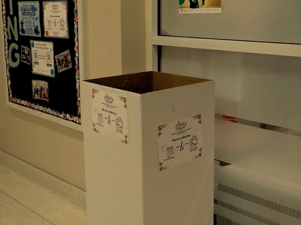
By Amelia Winter / 22 hours agoBrand-new spring donation drive to help international students at Ball State University.
