
Tonight: Today we had pretty much a mix of everything. At the start of the day we hight sunny skies and pretty warm temperatures. As the day went on, clouds started to roll in followed by some rain showers. This lead to the fall of the temperatures as well. That pattern will continue tonight as we will have a chance of spotty showers throughout the course of the evening and the overnight hours.
Thursday: Tomorrow will be somewhat similar to what today was. We will have a high of 76 and a low of 62 with partly cloudy skies. Luckily, there will be no chance of rain showers so it will be a great day to get some yard work done outside before the rain and thunderstorms roll in for the holiday weekend.
7-Day: Starting off the weekend on Saturday, we will have a high of 79 degrees and a low of 64. Starting out the day we will have mostly cloudy skies, but as the day goes on those clouds will burn out and we will have sunny skies in the PM hours. On Easter Sunday, we will have a high of 69 and a low of 48. The thunderstorms will return, so make sure you grab that umbrella as you head out the door to your family gatherings. From here the temperatures will mingle around the upper 60s and lower 70s. Rain chances will return yet again on Wednesday and Thursday with a little bit of increase in wind speeds. Make sure to follow us on Twitter @NLIWeather
--NewsLink Indiana Weather Forecaster Evan Brosman
Read More
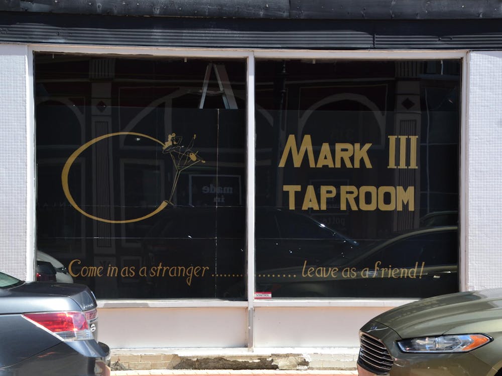
The closure of the historic Mark III Tap Room impacts Muncie’s LGBTQ+ community.
By Meghan Holt / 1 hours agoPatrons of the oldest gay bar in Indiana reflect on how it affected their lives.
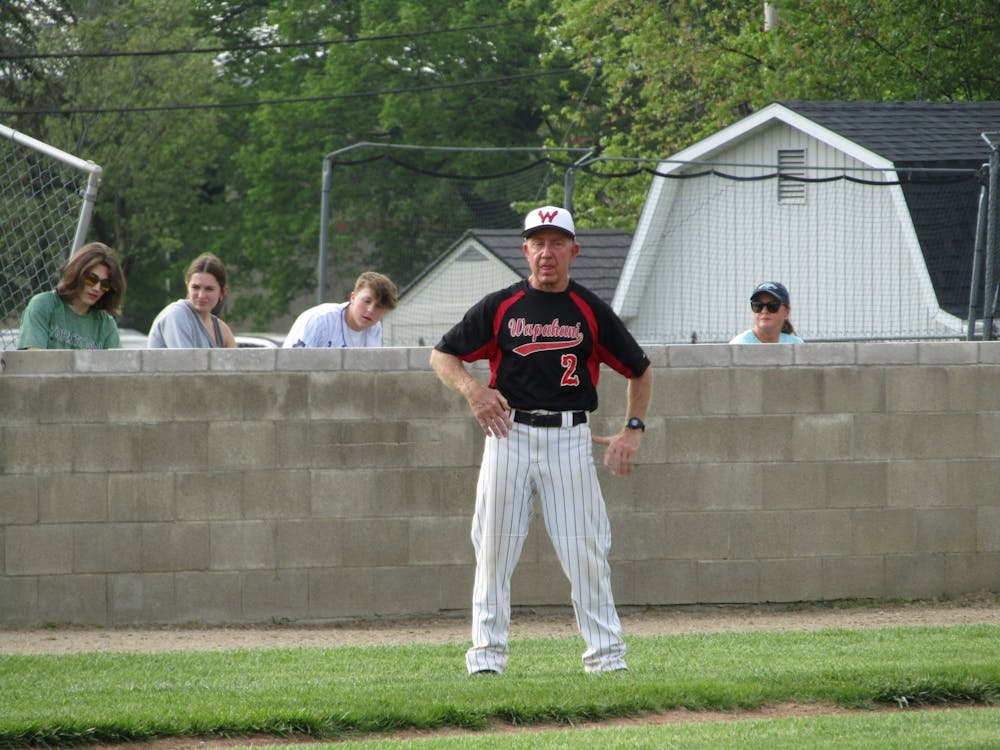
A 40-year alliance: Brian Dudley is a staple with Wapahani baseball
By Zach Carter / 2 hours agoBrian Dudley spent 40 years as the Wapahani varsity baseball coach and finished his career with an 828-320 record.

Top-seeded Cardinals’ postseason run ends with upset loss to Lindenwood
By Adam Altobella / 13 hours agoNo. 10 Ball State was upset by No. 18 Lindenwood in a five-set battle (25-20, 21-25, 25-23, 19-25, 11-15) on the Cardinals’ home court Thursday night. With how scarce at-large bids to the NCAA men’s volleyball tournament are, it is likely that the red and white’s 2024 campaign is over.
